the joachim storm on the French coast december 16, 2011
Category: weather
500 MB

This would be the system to set off on a transatlantic record attempt. This is a chart of the 500 mb weather, which is effectively the jet stream. no kinks, just smokin’
A DISASTER BEGETS A DISASTER
Hazard warning for yachts in the Pacific – debris from Japan’s tsunami
‘Tsunami debris discovered here first’ .
Cruising sailors crossing the Pacific Ocean, particularly the north Pacific, should be aware that floating debris from the devastating tsunami that hit Japan on March 11 is a hazard. The good news is that predictions of the drift are proving accurate. Debris from the devastating tsunami that hit Japan on March 11 has turned up exactly where scientists predicted it would after months of floating across the Pacific Ocean, as identified by a Russian ship in the area.
Simulation of spread of debris from Japan’s tsunami – .. .
Finding and confirming where the debris ended up gives them a better idea of where it’s headed next, which can be important, not only to sensitive areas, but to cruising sailors in the pathway of the debris.
The magnitude 9.0 quake and ensuing tsunami that struck off the coast of Tohoku in Japanwas so powerful that it broke off huge icebergs thousands of miles away in the Antarctic, locally altered Earth’s gravity field, and washed millions of tons of debris into the Pacific.
Tsunami debris as sighted by a US helicopter – black spots are car tyres – .. .
Scientists at the International Pacific Research Center at the University of Hawaii at Manoa have been trying to track the trajectory of this debris, which can threaten small ships and coastlines. The new sightings should help the scientists predict when the debris, which ranges from pieces of fishing vessels to TV sets, will arrive at sensitive locations, such as marine reserves.
Scientists estimate the debris will wash up on the Hawaii Islands in two years and the U.S. West Coast in three.
For nearly half a year, senior researcher Nikolai Maximenko and computer programmer Jan Hafner had only their state-of-the-art — but still untested — computer model of ocean currents to speculate where the tsunami debris might end up. The new sightings are backing up the model, showing debris in places where the model predicted.
Debris found by Russian ship – .. .
Warned by maps of the scientists’ model, a Russian ship, the STS Pallada, found an array of unmistakable tsunami debris on its homeward voyage from Honolulu to Vladivostok.
Soon after passing Midway Islands, crew members aboard the Pallada spotted a surprising number of floating items.
‘On September 22, in position 31 [degrees] 42,21 N and 174 [degrees] 45,21 E, we picked up on board the Japanese fishing boat. Radioactivity level — normal, we’ve measured it with the Geiger counter,’ wrote Natalia Borodina, information and education mate of the Pallada.
‘At the approaches to the mentioned position (maybe 10 – 15 minutes before) we also sighted a TV set, fridge and a couple of other home appliances.’
Tsunami debris being hoisted onto ship – .. .
Later, on Sept. 27, she wrote: ‘We keep sighting every day things like wooden boards, plastic bottles, buoys from fishing nets (small and big ones), an object resembling wash basin, drums, boots, other wastes. All these objects are floating by the ship.’
On Oct. 8, the Pallada entered the port of Vladivostok and Borodina was able to send pictures.
The most remarkable piece of debris is of a small fishing vessel about 20 feet (6 meters)long, which they were able to hoist up onto the Pallada. The markings on the wheelhouse of the boat show its homeport to be in the Fukushima Prefecture, the area hardest hit by the massive tsunami.
With the exact locations of some of the now widely scattered debris, the scientists can make more accurate projections about when the debris might arrive at the Papahanaumokuakea Marine National Monument.
The first landfall on Midway Islands is anticipated this winter. What misses Midway will continue toward the main Hawaiian Islands, where it is expected to hit in two years, and then on to the West Coast of North America in three years.
IF THERE CAN BE GOOD NEWS
The present track of Irene puts the eye of hurricane going over Western Long Island, about 100 miles west of Rhode Island. Very good news for us, not so for those now in the path of the storm. If this holds true, I will be very relieved.

The storm has also been downgraded and has weakened. Right now the predictions for Newport, RI are 50 knot winds, quite acceptable. (as the reader may know the force of the wind is the square of the speed, a few quick examples will show how dramatically things change as the numbers grow.)
I am feeling cautiously better.
STILL WAITING FOR IRENE
I am still hoping for a miracle, that the hurricane will weaken or go inland and dissipate. Still have to prepare for the worst and hope for the best. No choice there. It is still not possible to tell, however at the moment, it looks as though the hurricane may head over Long Island and up into Western Massachusetts. A blessing for me.
While I am watching and waiting for Irene, my friend Paul Larsen and another group are cycling The Haute Route, a staged race of 730 km between Geneva and Nice; over some of steepest terrain.
IRENE IS HEADED TO RHODE ISLAND

In case you can’t tell, hurricane’s are my phobia. I like the manifestations of nature, but as a homeowner I am always feeling protective. I have sailed through two hurricanes in my sailing career so far. It makes for good stories, but I never felt threatened or in danger. I worry much more about my house.
James Boyd of The Daily Sail has written a very good two part interview with the crew of Rambler 100 concerning the capsize. The Daily Sail is a subscription blog so I cannot reproduce the article here, only refer you to it. Click here to go to the page.
Finally, IDEC has been righted in Montauk.
IDEC AND IRENE

Hurricane’s are my one true worry. They are destructive, therefore I always worry about them. As a true New Englander I am always waiting for the other shoe to drop. I would never want to wish harm to someone else, but neither do I wish to have an encounter with Irene.
Now an update on IDEC and Francis Joyon. The capsized trimaran is under tow, now that the mast has been removed from the boat, to a safe harbor where righting the boat will be attempted.
")
FIRST HURRICANE OF THE SEASON

For those of us who live on the east coast, it is the time of year where we are looking over our shoulders. The season officially starts in June, but for the east coast the water temperature and weather systems are not established to guide the storms to us until near now. Really September and October are our danger zone. Hurricanes are apart of life for us, unfortunately. They seems to arrive just when the trees are most vulnerable; the foliage is full and heavy adding considerable surface area. The Midwest has tornado season, which is far more destructive. The power of the tornadoes dwarfs that of most hurricanes.
SUMMER SOLSTICE
The day that I always long for , I love the long days of summer. This day at once represents the warm summer light which we long for and the knowledge that every day after this begins to grow shorter. The myth of Persephone is a constant reminder of the long winter nights and the longing for the arrival of spring.
In the meantime I hope you can bask in the glorious sunlight.
in the Northern Hemisphere, summer solstice begins on Jun 21 2011 at 1:16 P.M. EDT
in the UK June 21, 2011 at 17:16 UTC
Sol + stice derives from a combination of Latin words meaning “sun” + “to stand still.” As the days lengthen, the sun rises higher and higher until it seems to stand still in the sky.
As a major celestial event, the Summer Solstice results in the longest day and the shortest night of the year. The Northern Hemisphere celebrates in June, but the people on the Southern half of the earth have their longest summer day in December.
Early Celebrations
Awed by the great power of the sun, civilizations have for centuries celebrated the first day of summer otherwise known as the Summer Solstice, Midsummer (see Shakespeare), St. John’s Day, or the Wiccan Litha.
The Celts & Slavs celebrated the first day of summer with dancing & bonfires to help increase the sun’s energy. The Chinese marked the day by honoring Li, the Chinese Goddess of Light.
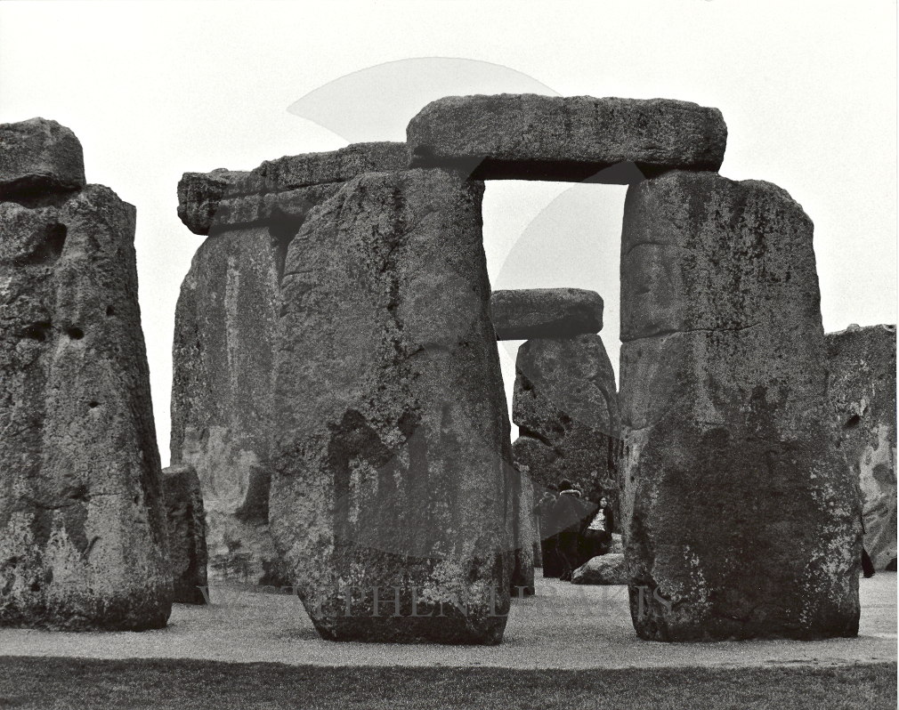
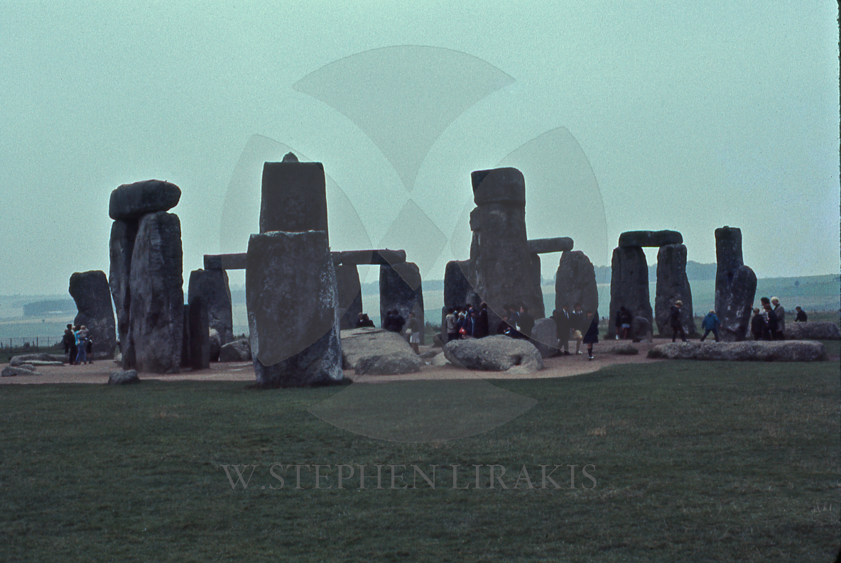
Stonehenge Summer Solstice 2010
Perhaps the most enduring modern ties with Summer Solstice were the Druids’ celebration of the day as the “wedding of Heaven and Earth”, resulting in the present day belief of a “lucky” wedding in June.
Today, the day is still celebrated around the world – most notably in England at Stonehenge and Avebury, where thousands gather to welcome the sunrise on the Summer Solstice.
Pagan spirit gatherings or festivals are also common in June, when groups assemble to light a sacred fire, and stay up all night to welcome the dawn.
Summer Solstice Fun Facts
Pagans called the Midsummer moon the “Honey Moon” for the mead made from fermented honey that was part of wedding ceremonies performed at the Summer Solstice.
Ancient Pagans celebrated Midsummer with bonfires, when couples would leap through the flames, believing their crops would grow as high as the couples were able to jump.
Midsummer was thought to be a time of magic, when evil spirits were said to appear. To thwart them, Pagans often wore protective garlands of herbs and flowers. One of the most powerful of them was a plant called ‘chase-devil’, which is known today as St. John’s Wort and still used by modern herbalists as a mood stabilizer.
More about summer solstice around the Web:
On the Web, discover more about the topic, where & how Summer Solstice is celebrated around the world along with related history, folklore and rituals that mark the much-awaited long, bright days of summer ….
Summer Solstice – Good overview of its history, customs & holidays, illustrations, date & time charts and related links, from Wikipedia.
Summer Solstice Celebrations – Ancient & Modern – Skip past the intrusive ads for a detailed discussion about how the day has been celebrated over the centuries, and in many cultures, with suggested reading and related links.
BBC Religion – Summer Solstice – A brief overview of Pagan rituals and ceremonies with related links to more facts & information.
Weird Wilstshire – Summer Solstice – Archived pictures with a report on one particularly successful UK sunrise celebration, including related links & online forum.
The Pagan Festival of Litha – The origins of Druidic Summer Solstice celebrations and their meaning in the natural cycle of seasons.
HURRICANE SEASON 2011
The devastation in the south and mid-west this spring from rain and tornadoes was unprecedented. It makes me wonder what might be in store for us in the northeast with hurricane season about to start. The La Nina effect is diminishing. It might seem that is good news; but I am not so sure that is true.
2011 Hurricane Season Will Be Above Average, Top Meteorologists Say
Published May 19, 2011 | FoxNews.com
The nation’s top meteorologists issued their 2011 hurricane-season forecast Thursday, predicting a serious and above-average season — though not one as tumultuous as the violent 2010 season.
Hurricane season for the western Atlantic and the Gulf of Mexico begins June 1 and lasts through Nov. 30. That’s when about 90 percent of the storms make themselves present. The National Oceanic and Atmospheric Administration (NOAA) warned that this year’s season will be above average, with as many as 10 hurricanes blasting their 110 mile per hour winds across the area.
“We could see activity comparable to some of the active seasons since 1995,” said Gerry Bell, Ph.D., lead seasonal hurricane forecaster at NOAA’s Climate Prediction Center.
2011 will be above average — even severe, the agency said — but probably not as dramatic as last year.
“This year, we are unlikely to see a repeat of last year,” said Jane Lubchenco, Ph.D., under secretary of commerce for oceans & atmosphere and NOAA administrator. The 2010 hurricane season was predicted to be devastating, with as many as 14 hurricanes; it ended up as the third most active on record.
Despite the above average 2010 hurricane season, the country did not have significant damage last year, Lubchenko said. But she urged caution nonetheless. “We cannot count on having the same luck this year,” she said.
NOAA’s forecast for 2011 predicts 12 to 18 named storms with winds 39 mph or greater. Of those, NOAA expects 6 to 10 hurricanes with winds of at least 75 miles per hour. And of those, the meteorologists expect 3 to 6 could be major storms, with winds of 110 mph or greater.
The outlook does not forecast when or where these storms will hit, Lubchenco cautioned.
The waters in the Atlantic ocean are not as warm as they were last year, NOAA said, though they are still warm enough to support an above average season. La Nina, which continues to weaken in the equatorial Pacific Ocean, is expected to dissipate later this month or in June. But its impacts — such as reduced wind shear — are expected to continue into the hurricane season and will help boost hurricane formatoin.
This prediction aligns with the forecast issued in early April by Colorado State University meteorologists Philip Klotzbach and William Gray, who predicted a strong forecast for 2011 as well.
“Overall, conditions remain conducive for a very active hurricane season,” their forecast reads.
The national weather agency urged caution and preparedness for anyone who lives within the hurricane evacuation zone.
“The tornadoes that devastated the South and the large amount of flooding we’ve seen this spring should serve as a reminder that disasters can happen anytime and anywhere,” said FEMA Administrator Craig Fugate.
“As we move into this hurricane season it’s important to remember that FEMA is just part of an emergency management team that includes the entire federal family, state, local and tribal governments, the private sector and most importantly the public,” he said.
May 22-28 is national Hurricane Preparedness Week, the agency noted, and urged residents of hurricane-prone areas to prepare by watching a set of new video and audio announcements featuring NOAA hurricane experts.
NOAA had predicted the 2010 season would be one of the strongest seasons on record — a forecast that stirred fears that the Gulf oil spill would be impacted by the severe weather.
Read more: http://www.foxnews.com/scitech/2011/05/19/2011-hurricane-season-noaa-forecast/#ixzz1MtWl38iE