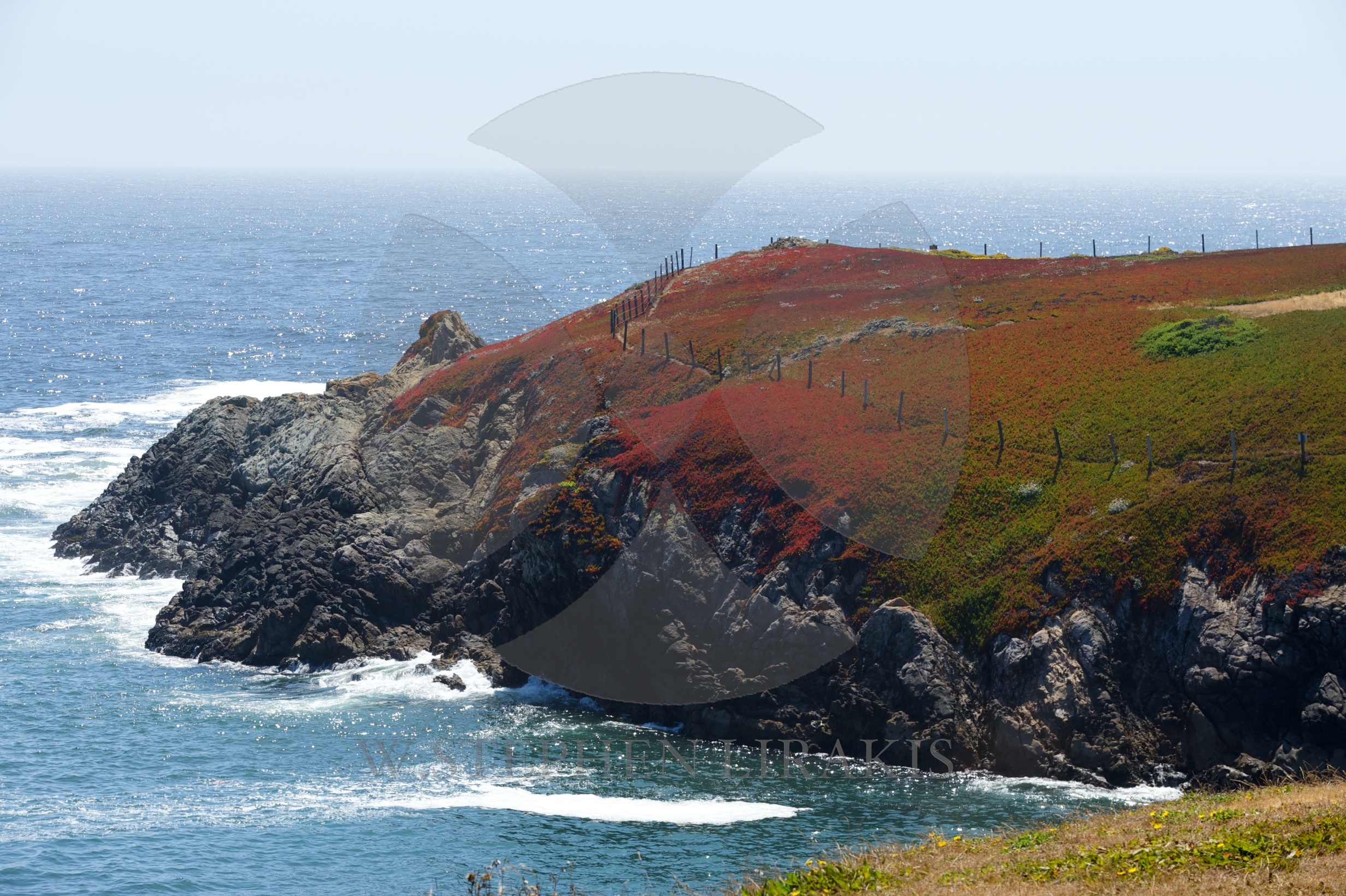
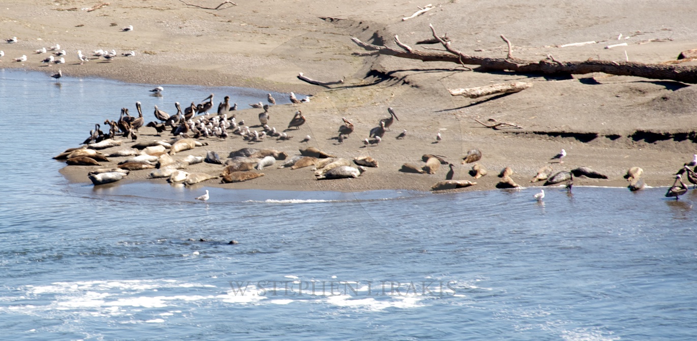
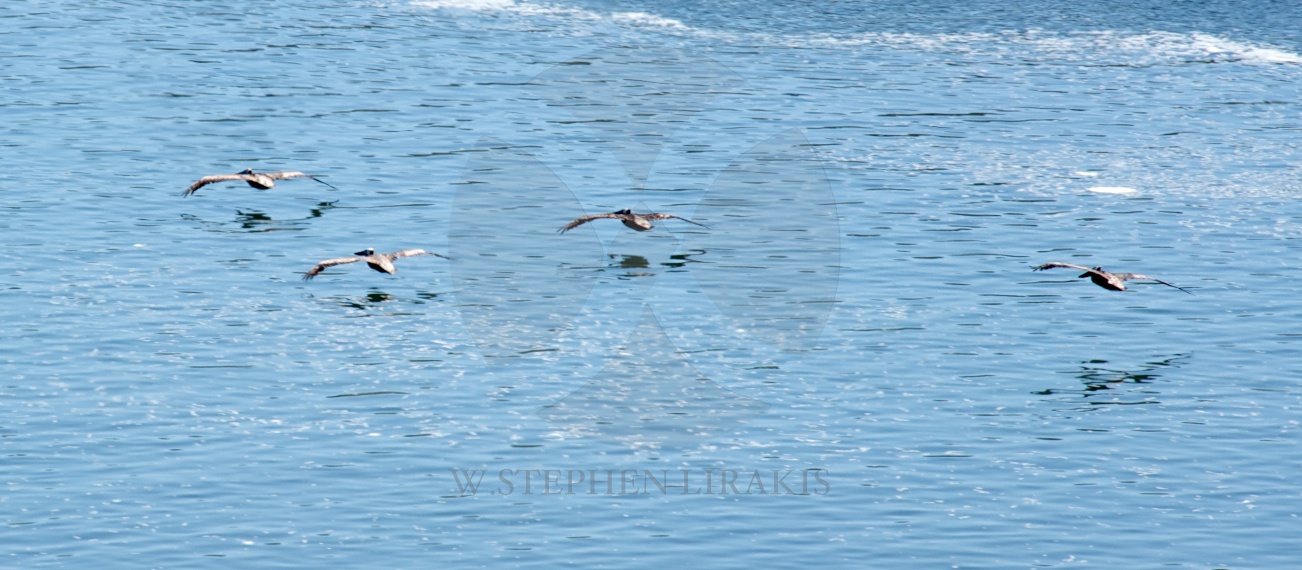
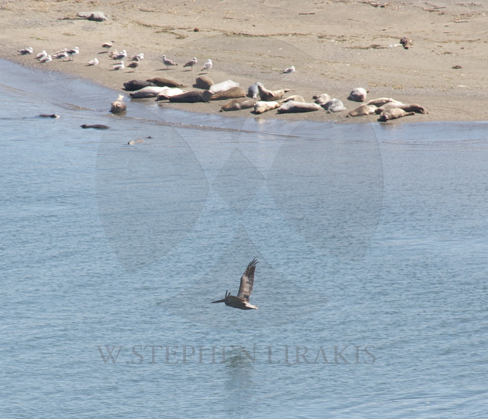
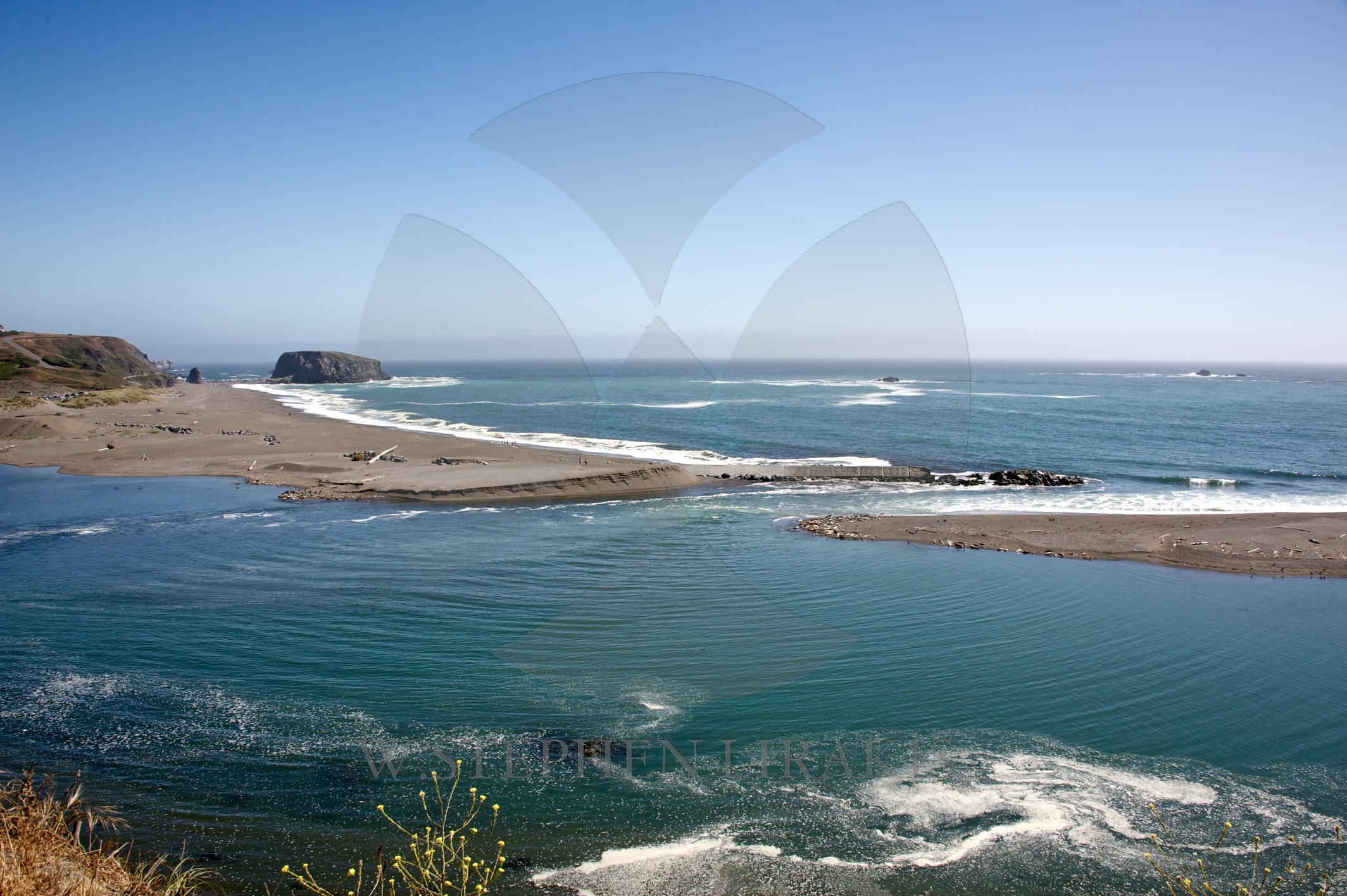
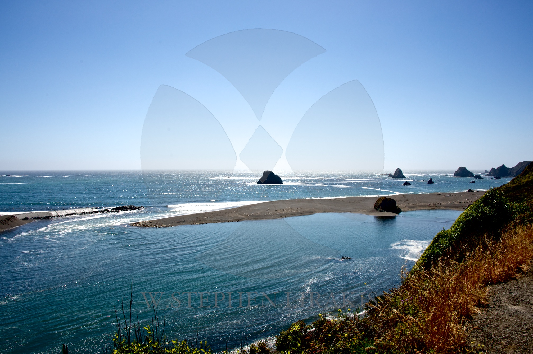
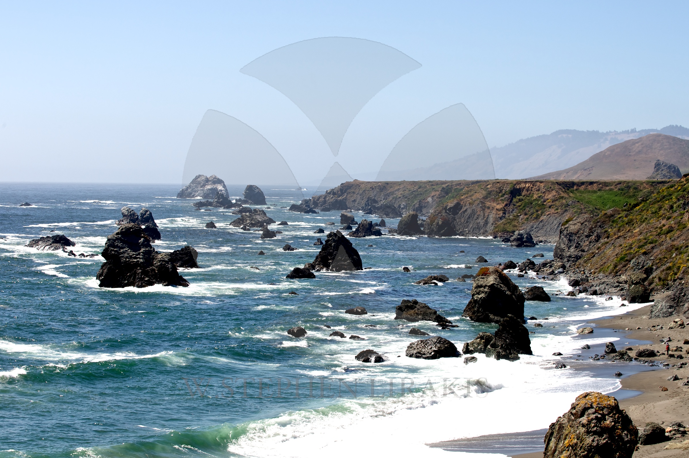
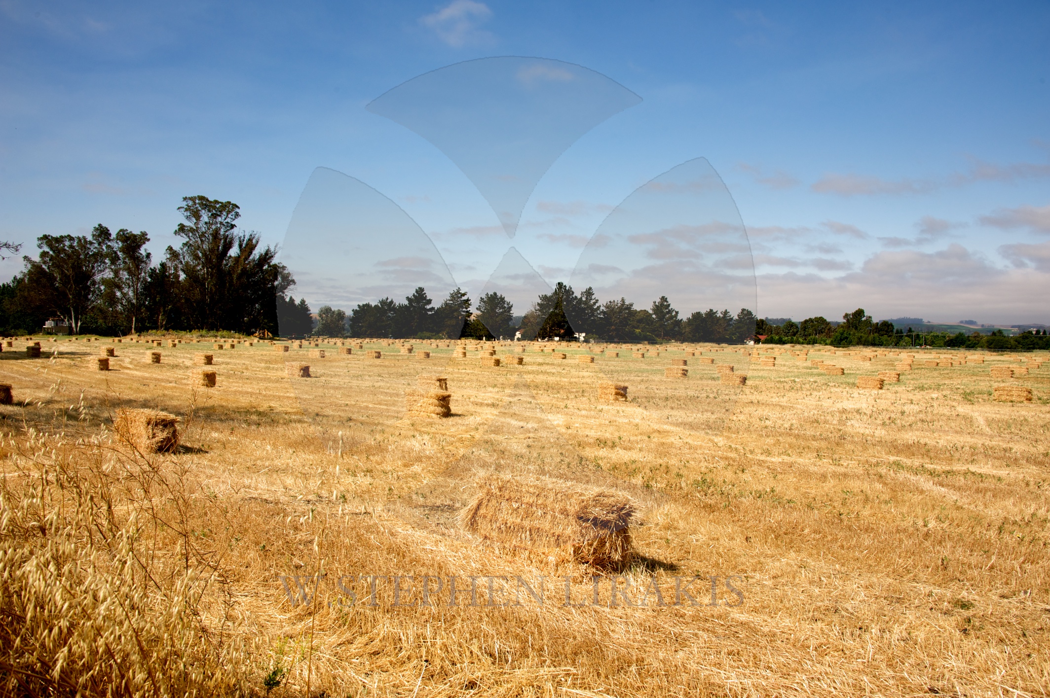
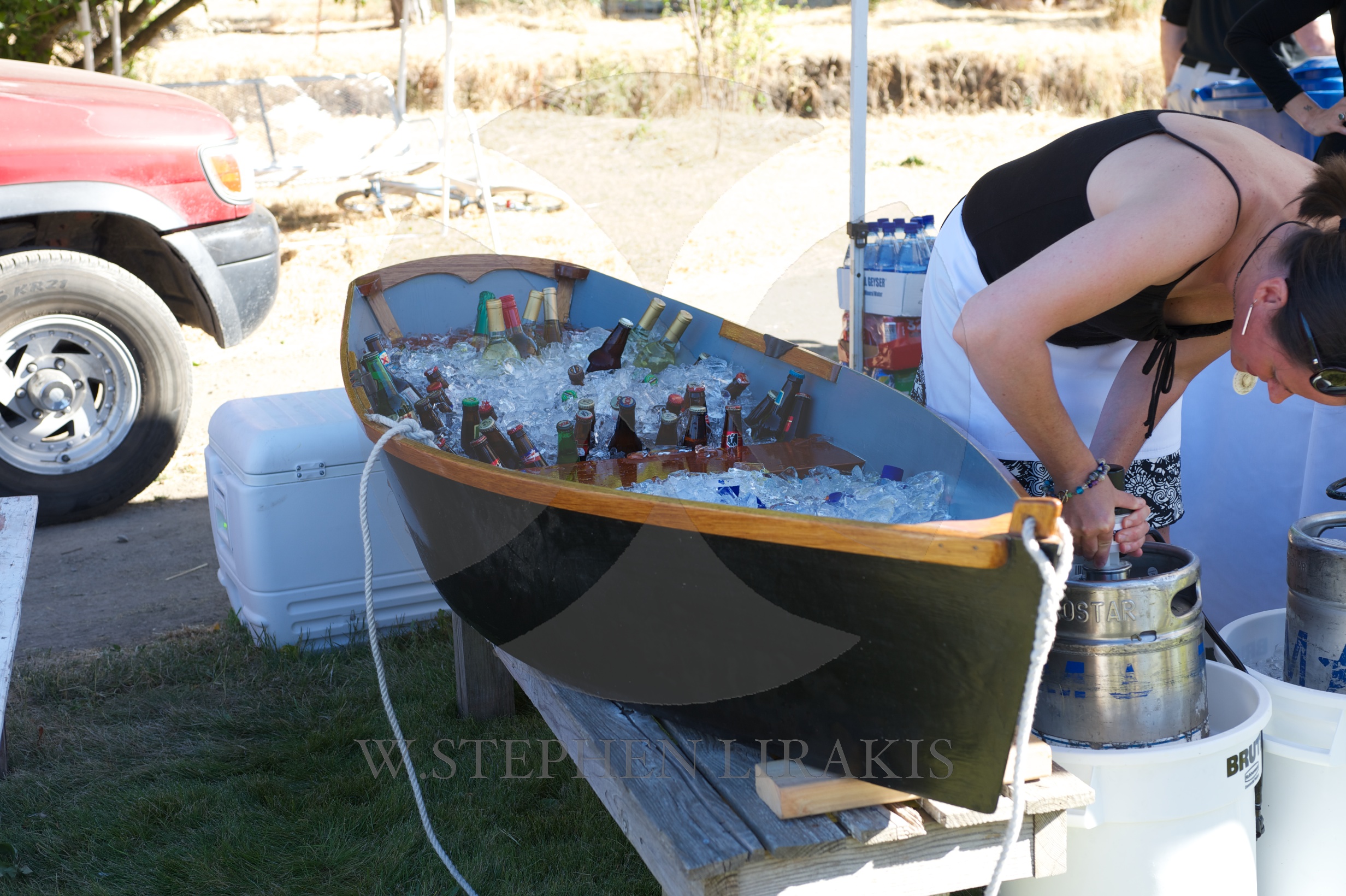
The sights and sounds of the daytime in sonoma.
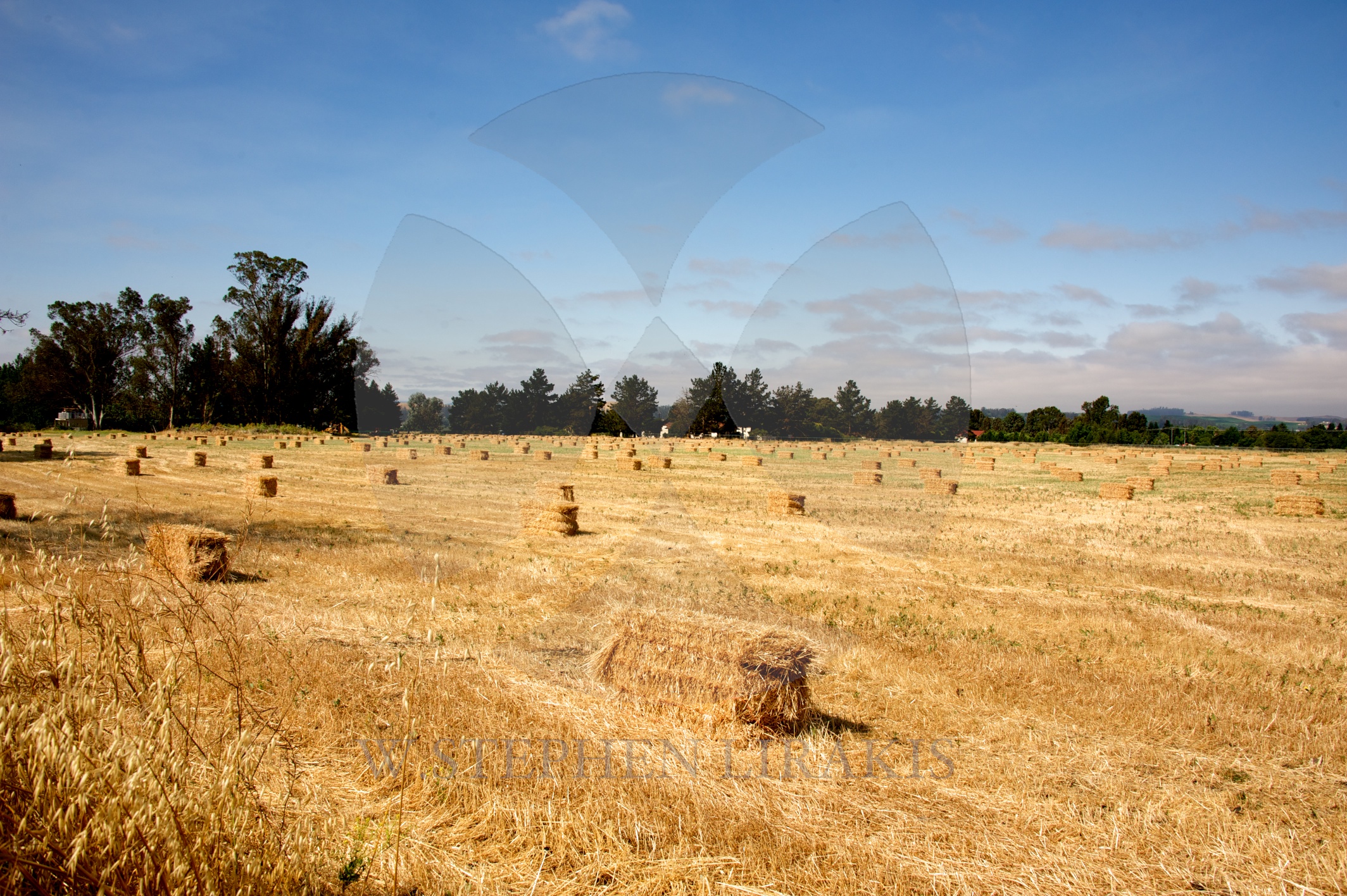
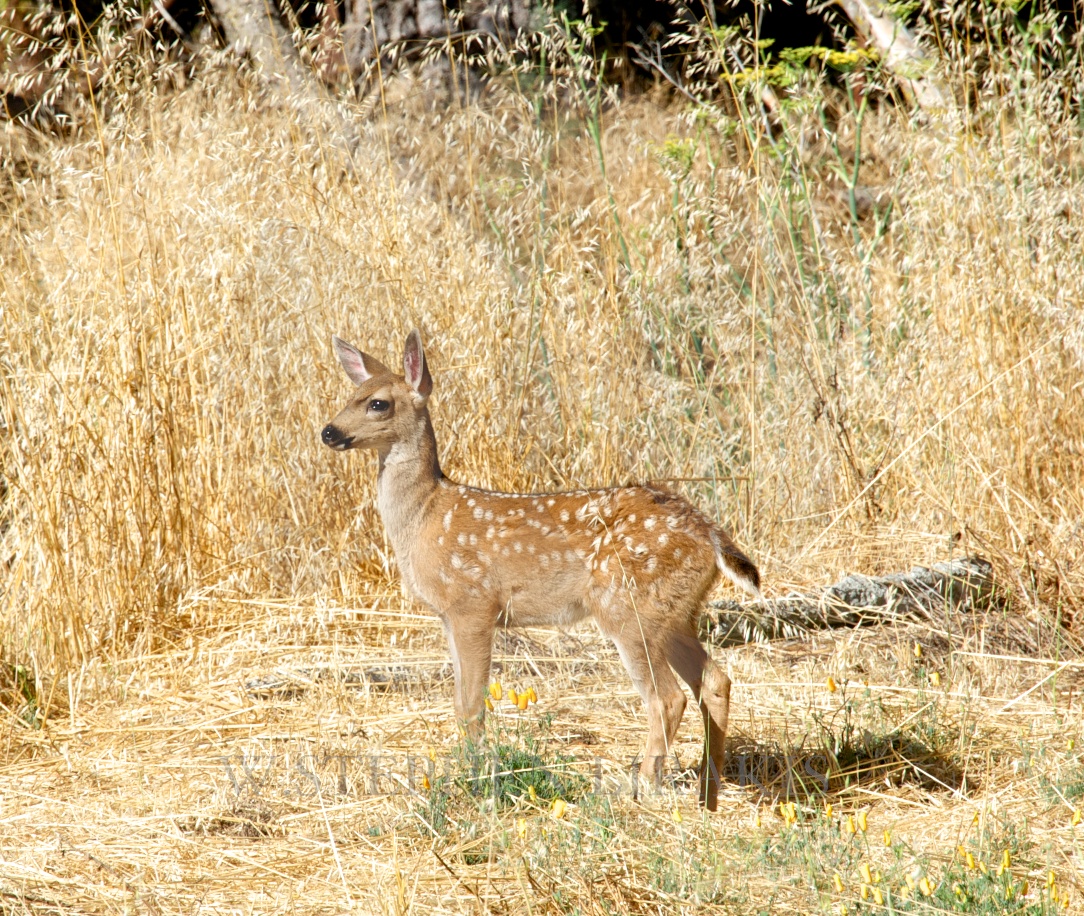
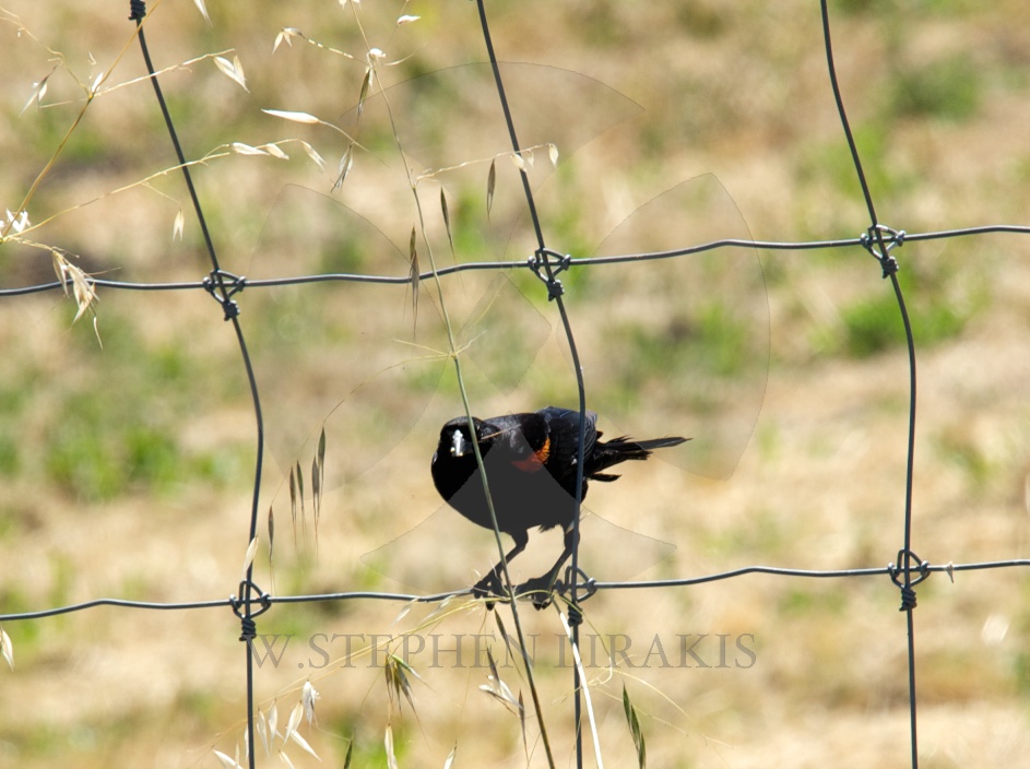
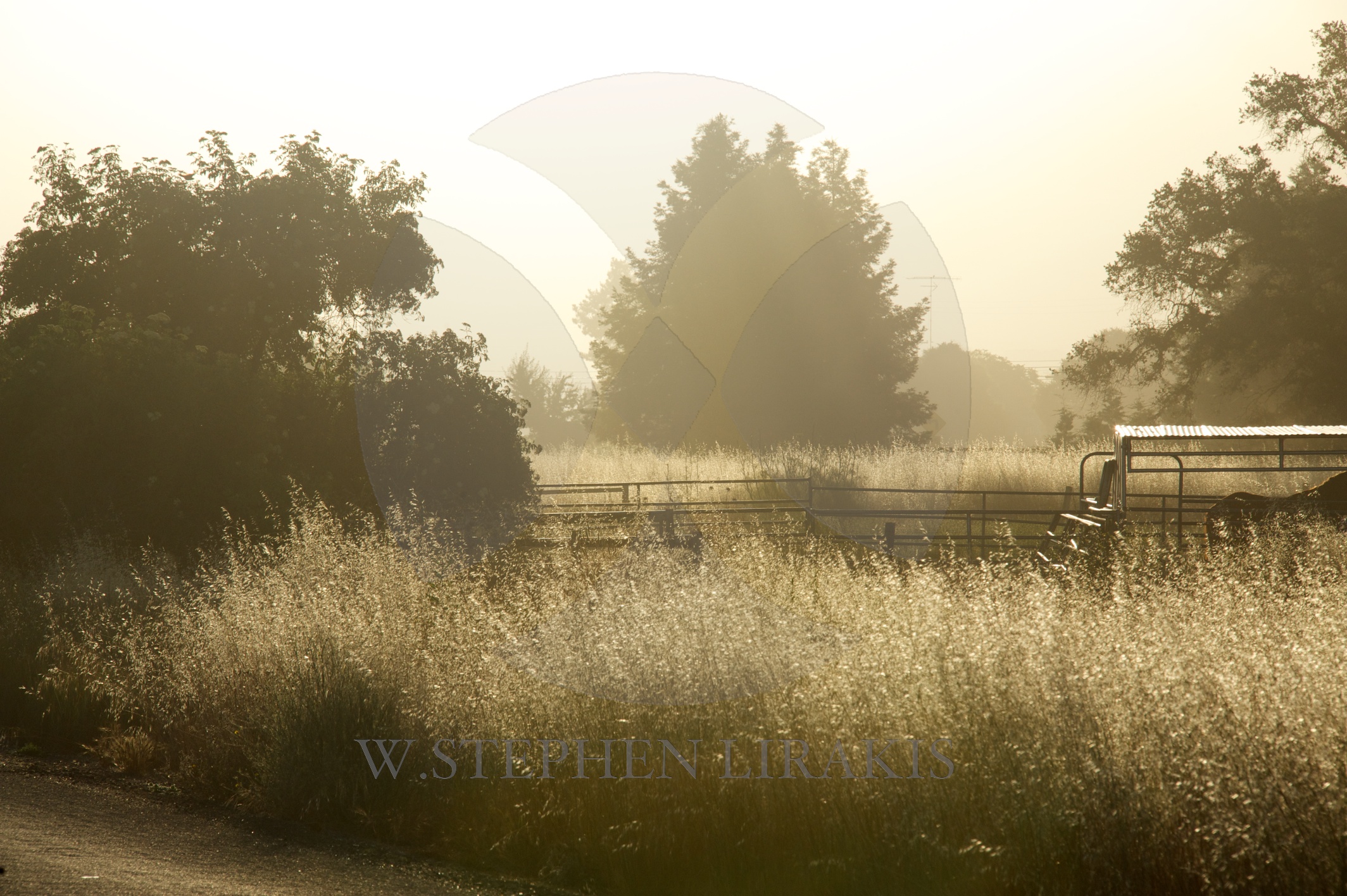


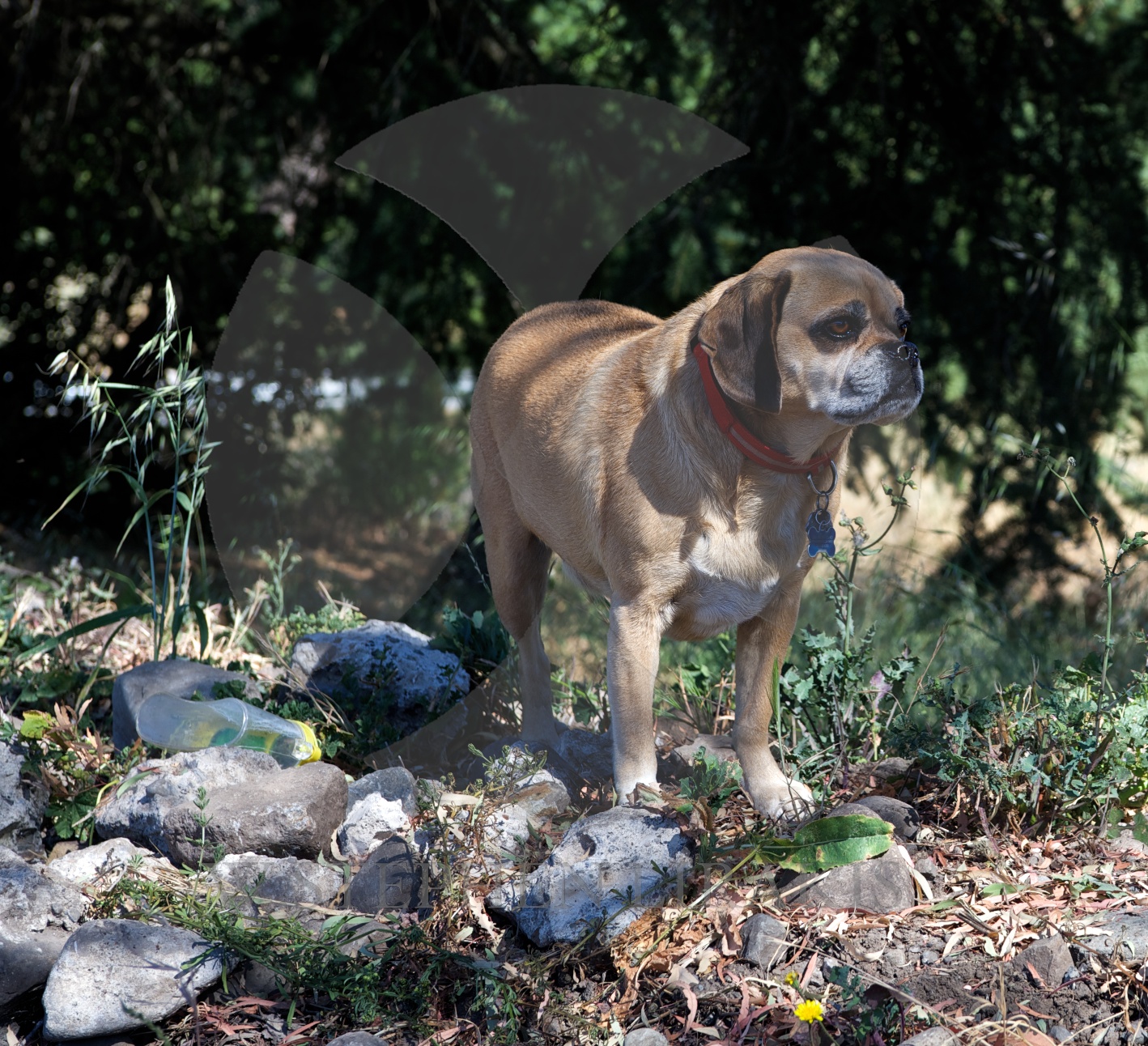
The sights and sounds of the daytime in sonoma.
What’s your favorite river? Here’s a story about mine
By John D. Sutter, CNN
updated 9:32 AM EDT, Sat July 5, 2014
Me and John Dye, of Rivers for Change, at the Golden Gate Bridge on Friday.
STORY HIGHLIGHTS
Editor’s note: John D. Sutter is a columnist for CNN Opinion and creator of CNN’s Change the List project. Follow him on Twitter, Facebook or Google+. E-mail him at ctl@cnn.com. The opinions expressed in this commentary are solely those of the author.
San Francisco (CNN) — Three weeks and about 400 miles ago, I started a trip down the “most endangered” river in the United States, California’s San Joaquin. The underloved river is born in the Sierra Nevada and snakes across one of the most productive agricultural regions in the world, California’s Central Valley.
I finished that journey — which mostly involved kayaking, but also a fair bit of walking, since the San Joaquin runs dry for about 40 miles — on Friday beneath the Golden Gate Bridge here in San Francisco.
It was a moment I’ll always remember: that behemoth, cardinal-red bridge towering overhead, clanging in the wind, the distant roar of traffic, water rushing through a 1.7-mile channel that drains about 40% of this country-sized state’s land area. The ocean tossed the kayak around like a piece of dough.
John D. Sutter
Thirty-five mph winds seared salt water to my face, and tears of joy ran down my cheeks. It was thrilling but also bittersweet. I knew that not a single drop of San Joaquin water made it to the bridge, which should be the end of the river. All of it — 100% — is diverted for a variety of human uses, mostly for farming.
As I crossed under the bridge, which separates the San Francisco Bay from the Pacific Ocean, my thoughts were as choppy as the water. But between “Don’t flip!” and “ROCK!” I looked up at the bridge and remembered a moment from my June 11 hike at the headwaters of the San Joaquin.
I could hear the river rumbling down in a valley to the left on that mountain trail, and I said something to my hiking companion, Darin McQuoid — a pro kayaker who goes careening off 80-foot waterfalls like it’s no big thing — about how, to me, the river sounded like a highway.
No, he said, it’s the opposite. Highways sound like rivers.
San Joaquin River
That’s so true. And it really clicked for me in that moment. After three weeks on the river, I was finally starting to see things from the water’s perspective.
Rivers, of course, are the original highways. The roaring traffic above on the Golden Gate reminded me of the San Joaquin in its early, healthy stretches.
But for most of us, traffic is far more familiar.
We’ve become a people disconnected from the water. We don’t know rivers. We don’t know where they start, where they’re going, when they’re full, why they’re dry. We don’t know enough to understand why — long after the Huck Finn era — they still shape our lives, they’re still worthy of our attention and unyielding respect
I hope this trip is part of a much broader effort to change that. To tilt our collective thinking toward a focus on water, and its great shepherds, the rivers.
I could go on for MANY more paragraphs about the journey — about the farmers, bird-lovers, migrant workers, fish biologists, dam operators, boat nuts and barefoot skiers I met along the way. I’ll do that at a later date as part of our Change the List project. For now, I wanted to say a heartfelt thank you to all of the readers who followed my voyage down the San Joaquin so diligently — and helpfully — on social media. Some of you sent me scientific reports about locations I was passing; others actually met me out on the river to share a piece of your story.
Two science teachers brought me a burrito beneath a bridge. One woman stood at the edge of her family farm for two hours waiting for me to pass. For all of that I am forever grateful. It’s incredible that you cared about this story so deeply. You were an essential part of it. You shaped my path.
So, I’ll say it again, since I don’t enough: Thank you.
You readers are awesome.
AND: I do have a favor to ask. I’d like to ask you to turn your gaze toward rivers, too. CNN iReport is inviting you to send in photos, videos or essays about your favorite rivers. It could be a river you saw on vacation or one in your backyard. Tell us a little bit about it and it may be featured as part of a list of “our favorite rivers.”
Here’s a page with instructions on how to do it.
I know which river I’ll pick. Certainly the San Joaquin.
Stay tuned for more reporting on America’s “most endangered” river in coming weeks, and thank you again for being such an integral part of this adventure.


|
Hurricane Wind Speed Probability |
50-knot Wind Speed Probability |
Trop Storm Wind Speed Probability |
Wind History |
|
Warnings/Cone Interactive Map |
Warnings/Cone Static Images |
Warnings and Surface Wind |
Mariner’s 1-2-3 Rule |
|
![[Image of probabilities of hurricane force winds]](http://www.nhc.noaa.gov/storm_graphics/AT01/refresh/AL0114_PROB64_F120_sm2+gif/114756.gif)
Note: The time of the tropical cyclone’s center location at the bottom of the graphic will be 3 hours earlier than the time of the current advisory. The forecast cycle for each advisory begins 3 hours prior to the issuance of the advisory products.
These graphics show probabilities of sustained (1-minute average) surface wind speeds equal to or exceeding 64 kt…74 mph (hurricane force). These wind speed probability graphics are based on the official National Hurricane Center (NHC) track, intensity, and wind radii forecasts, and on NHC forecast error statistics for those forecast variables during recent years. Each graphic provides cumulative probabilities that wind speeds of at least 74 mph will occur during cumulative time periods at each specific point on the map. The cumulative periods begin at the start of the forecast period and extend through the entire 5-day forecast period at cumulative 12-hour intervals (i.e., 0-12 h, 0-24 h, 0-36 h, … , 0-120 h). An individual graphic is produced for each cumulative interval, and the capability to zoom and animate through the periods is provided. To assess the overall risk of experiencing winds of at least 74 mph at any location, the 120-h graphics are recommended.
These probabilities will be updated by the NHC with each advisory package for all active tropical cyclones in the Atlantic and eastern North Pacific basins. While separate graphics are focused on each individual tropical cyclone, probabilities resulting from more than one active tropical cyclone may be seen on each graphic.
Additionally, these probability products are available on the National Weather Service’s National Digital Forecast Database (NDFD) graphical tropical webpage.
The previously provided strike probability product (discontinued after 2005) conveyed the chances of a “close” approach of the center of the cyclone. However, these new probability products are about the weather. That is, these cumulative wind speed probabilities provide the chances that wind speeds of at least 74 mph will occur at individual locations. The cumulative probabilities can answer the question, “What are the chances that sustained winds of tropical storm or hurricane force will occur at any specific location?” This can also help one answer the question, “Do I need to take certain actions to prepare?” A companion product, the wind speed probability text product, will also be issued and updated with each advisory package. That product is recommended to more easily assess when winds of each threshold are most likely to start at any specific location, helping to answer the question, “How long do I have to prepare?” Overall, these probabilities provide users with information that can enhance their ability to make preparedness decisions specific to their own situations.
It is important for users to realize that wind speed probabilities that might seem relatively small at their location might still be quite significant, since they indicate that there is a chance that a damaging or even extreme event could occur that warrants preparations to protect lives and property.
There is never a good time for misfortune, and dangerous weather is no exception to this statement. It is unlucky that “Arthur” is arriving for the 4th of July week, but is there a better time?
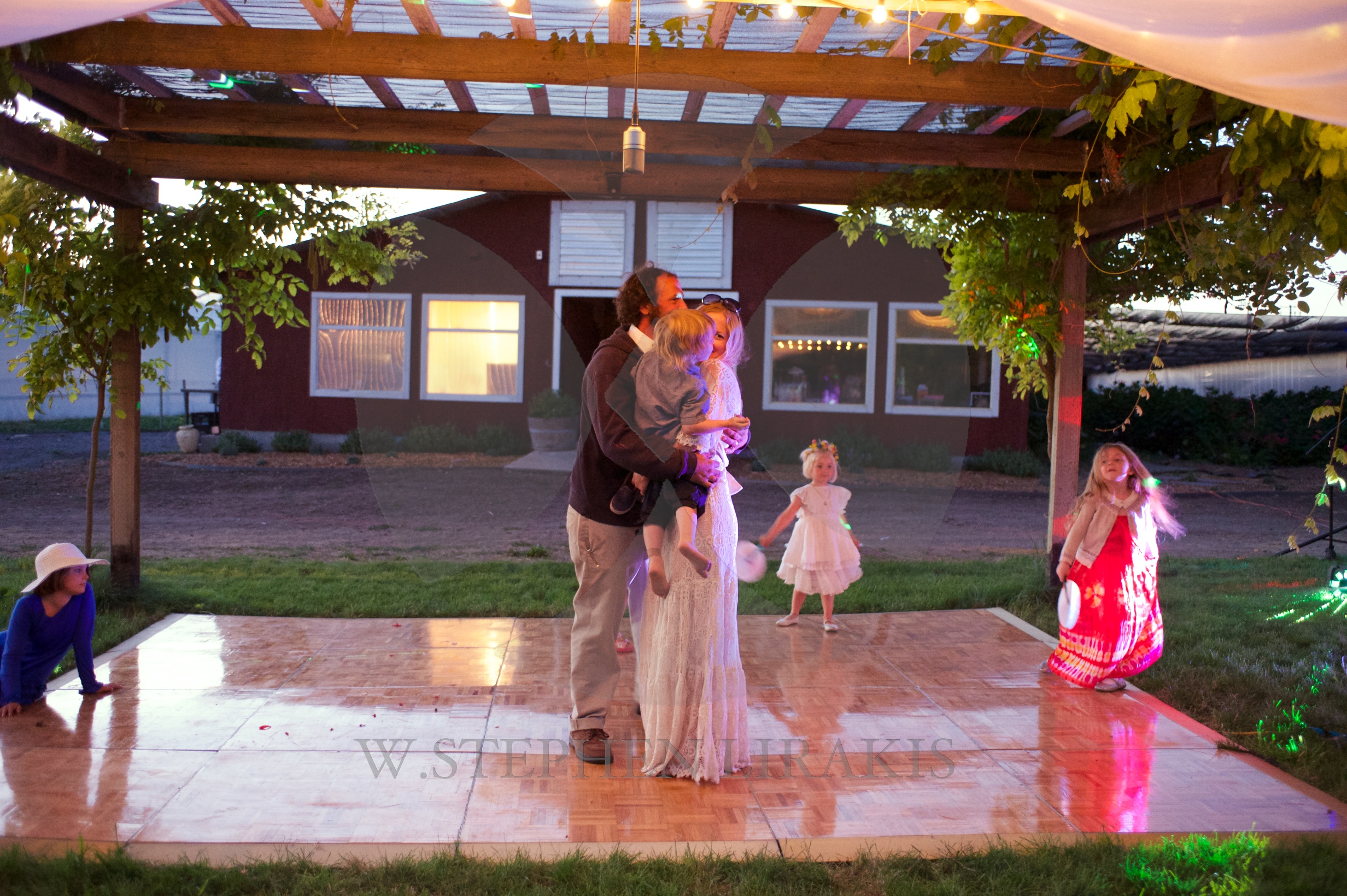
JUNE 28,2014
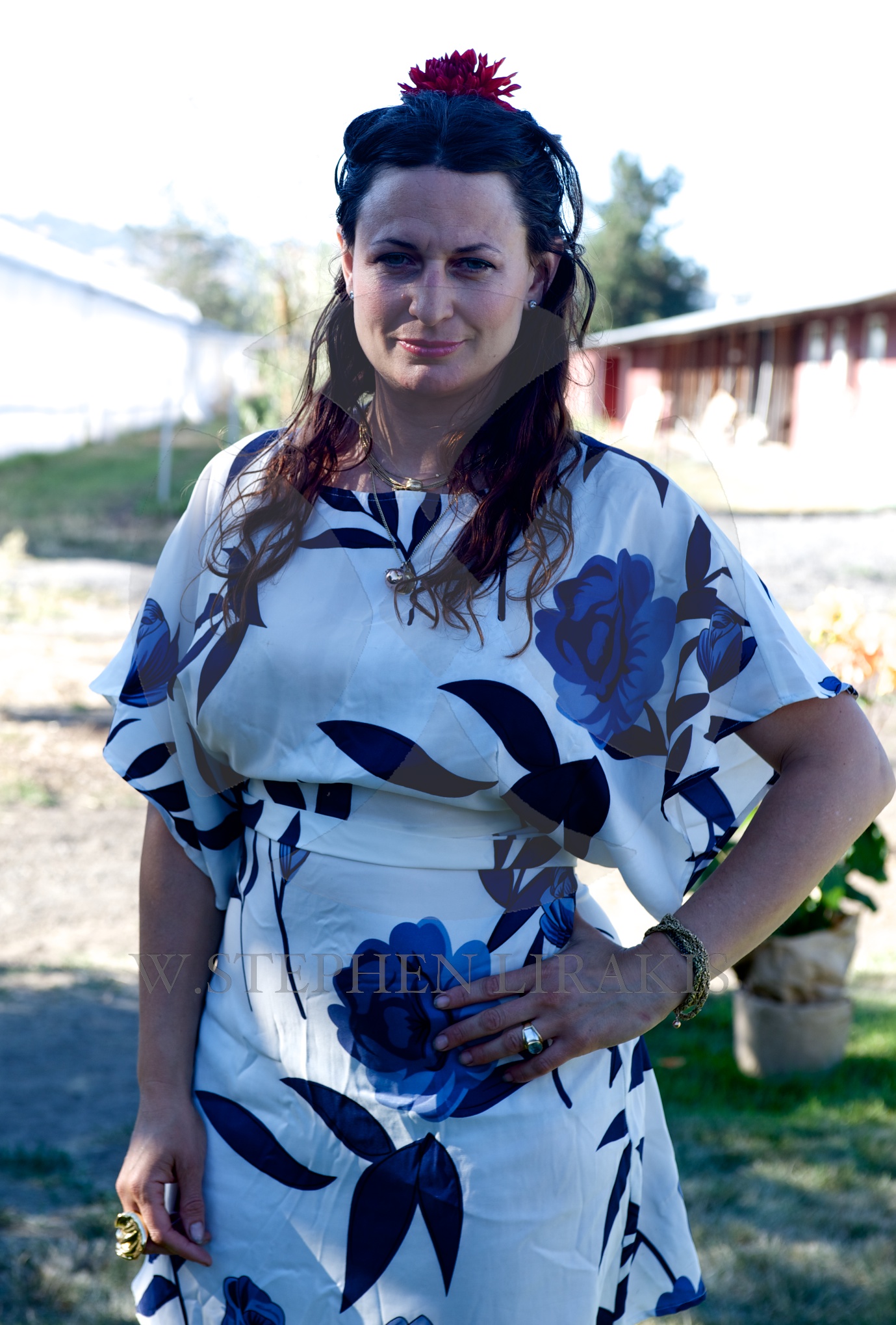
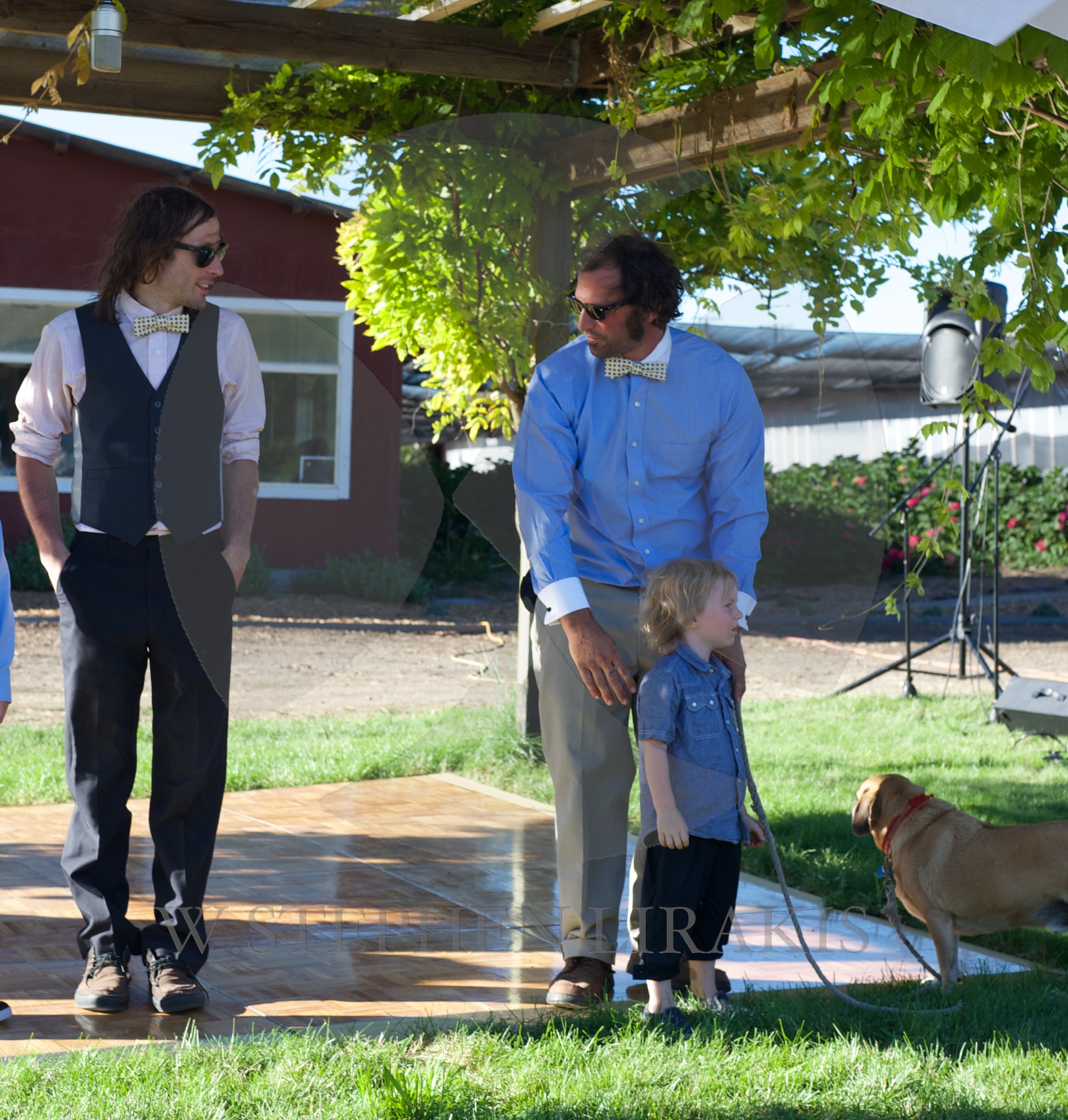
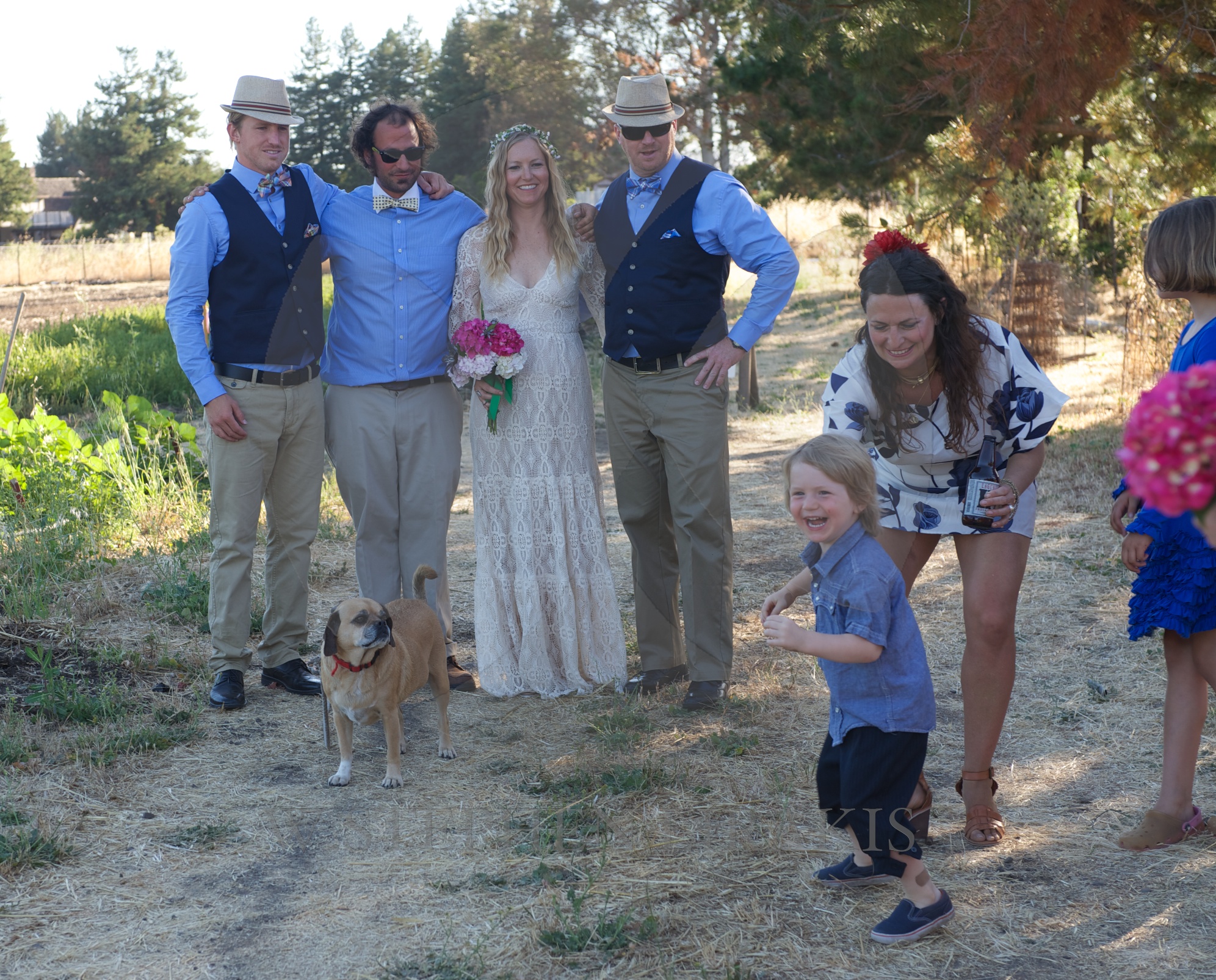
A special date now in our family as Pierre and Lori were married; exchanging vows in front of their closest friends and family on a lovely Sonoma evening; followed by food and music.
Isabelle, Pierre’s sister, my daughter worked for days before preparing all the food, still having time for a laugh and a smile.
Thankyou to everyone who made the event even more special with such genuine feelings of joy.


June 25, 2014
All Possible Assistance: A Classic Escorts a Competitor to Safety
Black Watch is hard to slow down, but she had to do it during her unusual assignment in the 2014 Bermuda Race. (Daniel Forster/PPL)
By John Rousmaniere and Chris Museler
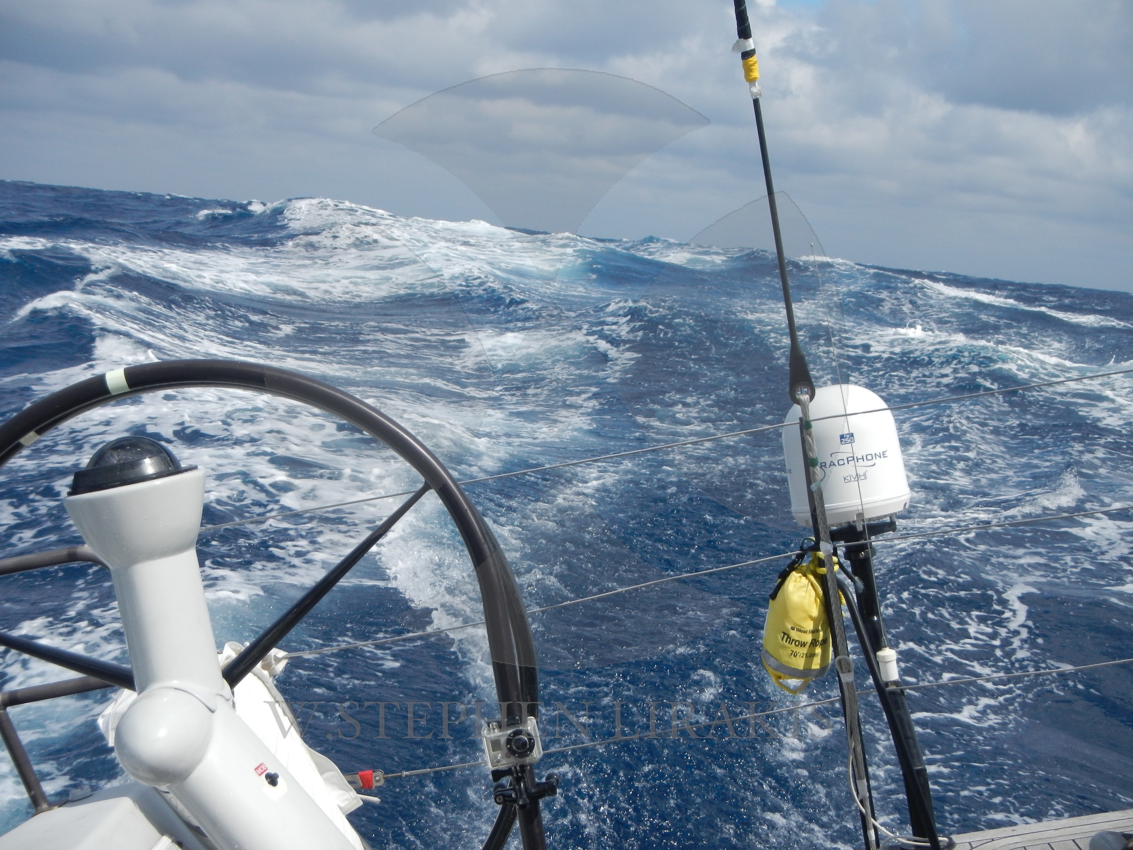
Hamilton, Bermuda, June 25. With their big fleets, Newport Bermuda Races usually have a few retirements. This year is no exception, with 10 teams dropping out mostly due to relatively small but nagging gear failures, constraints on the crew’s schedule, or (to quote one competitor) “lack of forward progress.” But also this year, a threat of serious damage led to an extraordinary response.
Halfway into the race, the bottom bearing of the rudder broke on the Taylor 41 Wandrian, a Class 3 entry hailing from Halifax, Nova Scotia, and sailed by Bill Tucker and eight other Canadian sailors. Tucker put a secondary “dam” in place to hold out the water. The crew cut out the bottom of a bailing bucket, split the remaining bucket in two, secured the two pieces around the rudder post with 4200 adhesive, finished off the dam with silicone to fill remaining the cracks and holes—and crossed their fingers. The fiberglass tube holding the post might well shake so badly that it would crack wide open.
Taylor succinctly described the danger after the boat pulled up to the RBYC pier on Wednesday morning: “Our challenge was this: if the rudder post broke, we’d have a 6-inch hole in the bottom of the boat.” All this 300 miles from the nearest shore.
Deciding to continue on to Bermuda and request assistance from another vessel, Tucker made calls over VHF radio at 12:30 p.m. EDT this past Sunday, June 22. Due to a weak connection, the transmission was not ideal, but his message was heard by Rocket Science, a Class 4 entry owned and sailed by Rick Oricchio. He then established a radio watch to check in regularly with Wandrian, and got in touch with the race’s Fleet Communications Office. Based in a room in the New York Yacht Club in Newport, and chaired by Newport Bermuda Race Communications Officer Chris McNally, the FCO maintains a continuous 24-hour watch on the race until after the last boat finishes, using radio and the race tracker.
Her details epitomize integrity. (John Rousmaniere)
As the FCO learned of Wandrian’s problems on Sunday afternoon, so did the crews of two other boats less than 5 miles away. They happened to be two classic wooden yachts designed by Sparkman & Stephens: the 68-foot 1938 yawl Black Watch, commanded by John Melvin; and the 52-foot 1930 yawl Dorade, whose owner and skipper is Matt Brooks.
Black Watch’s afterguard—Melvin, navigator Peter Rugg, and watch captains Lars Forsberg and Jamie Cummiskey—decided that their larger vessel was best qualified to stand by and escort Wandrian to Bermuda. “If the boat has to be evacuated and someone else needs to take eight or nine people aboard, we should be there,” Rugg later explained. “This is the stuff that’s important to the sport.” Added Melvin, “Dorade came over when we came over, and we decided we were the better platform to take people off.” The decision to render all possible assistance to another vessel in difficulty came easily for Melvin, who well understood Wandrian’s situation: “I sailed a little Concordia yawl for a long time and I know what it’s like to have everybody pass you and leave you alone.”
Dorade continued racing while her big cousin began the voyage in her new role as Wandrian’s shadow. The two crews engaged in hourly radio communications, with regular reports to the race Fleet Communications Office. Meanwhile, Black Watch’s sailors wrestled with an unfamiliar seamanship problem: how to sail slowly enough to shepherd a smaller boat. “In a good breeze, we can easily do 9 knots, even in rough water,” Rugg said after they reached Bermuda. “We spent a lot of time figuring out how to sail near her. We kept putting sails up and taking them down.”
Back from the sea, Wandrian is also back to normal as she waits to be hauled in Bermuda. (Chris Museler)
Experimenting with sail combinations, they settled on a full or reefed mainsail, the mizzen, and a forestaysail that could be trimmed to windward to slow the boat by heaving-to. The crew also employed the abrupt slowing maneuver called the “Crazy Ivan,” made famous by the film The Hunt for Red October. In the frequent calms, the two boats doused headsails and turned on engines. The sight of two such different sailing yachts powering side by side so far out in the ocean befuddled their competitors.
This shepherd-and-sheep relationship continued until the two boats neared St. David’s Head in the early hours of Wednesday and Black Watch sailed across the finish line at 2:22 a.m. Wednesday morning, nearly two and a half days after her crew volunteered for this remarkable assignment.
Later on Wednesday, as Wandrian was being prepared to be hauled out for repairs, Tucker paused to point to Black Watch and declare, “They were our insurance policy.”
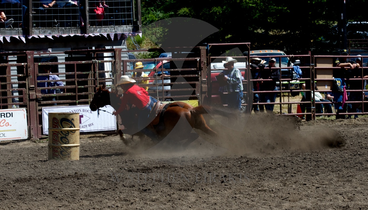

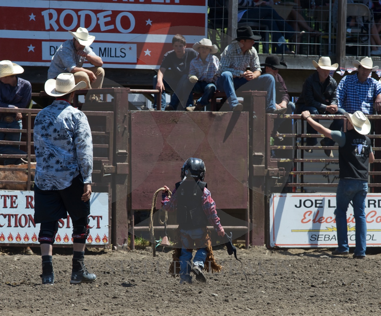
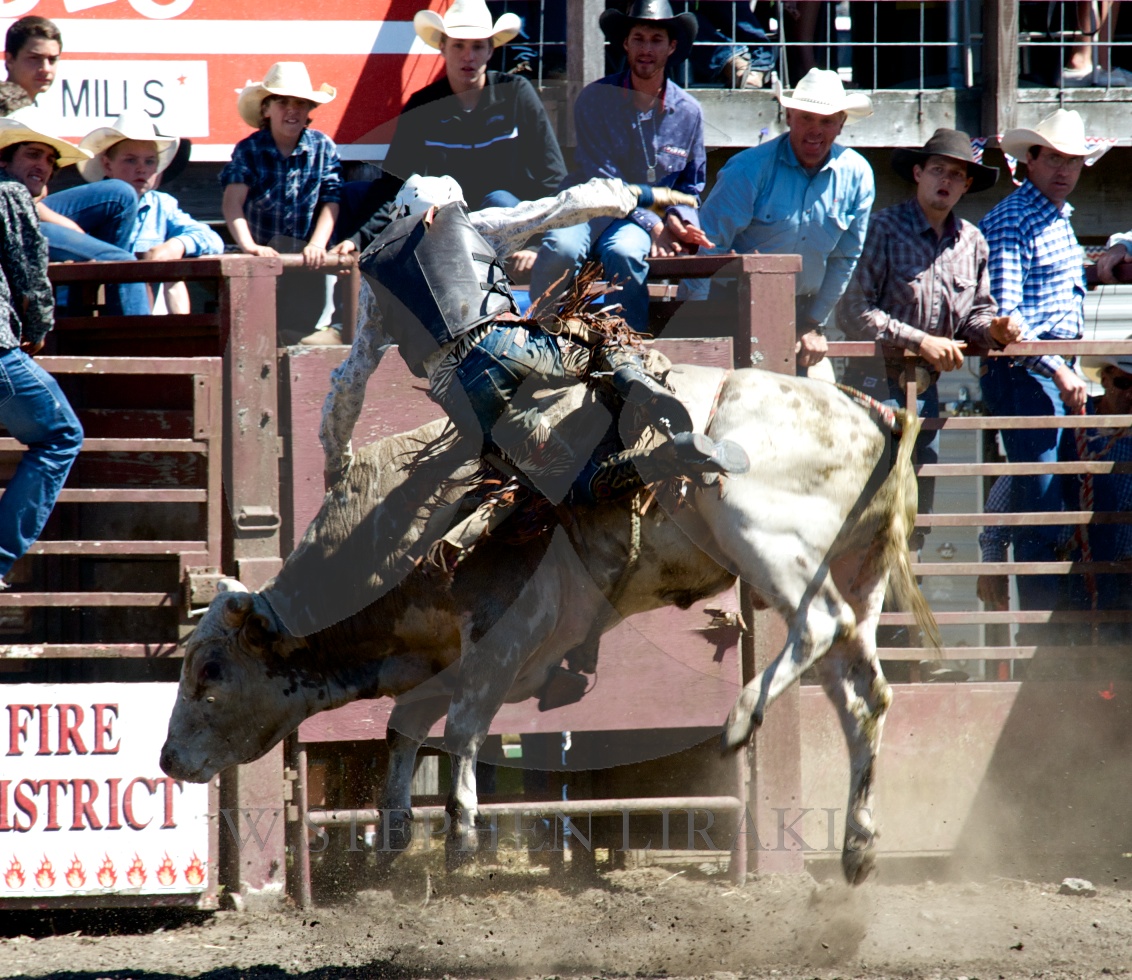
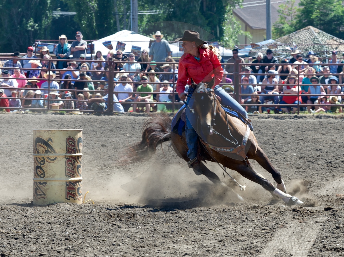
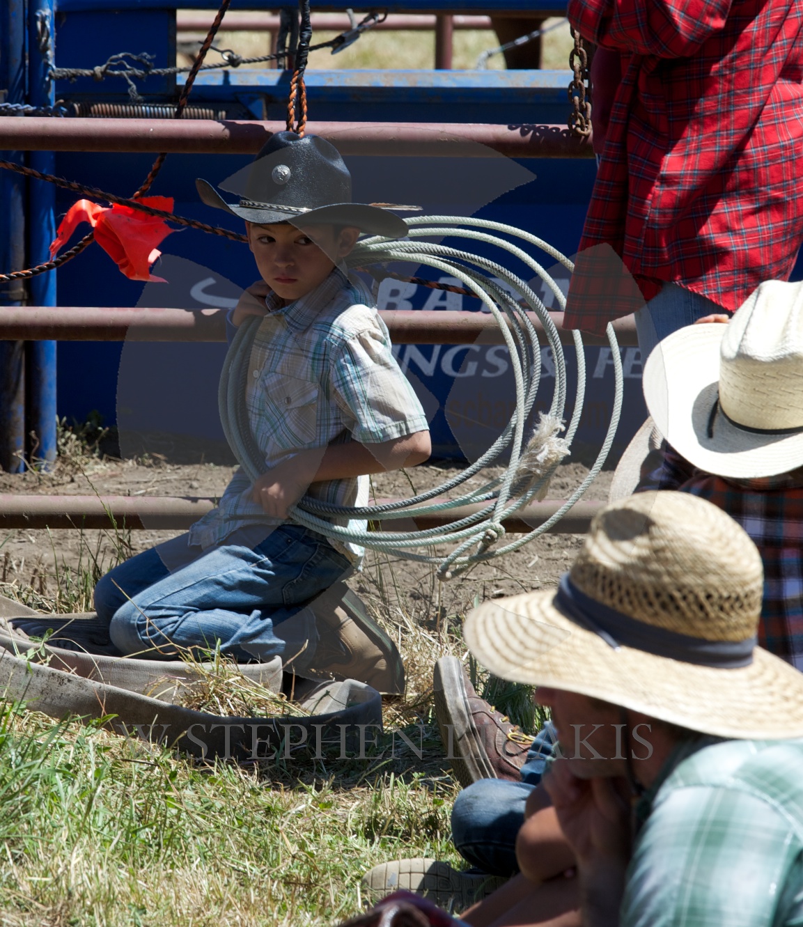

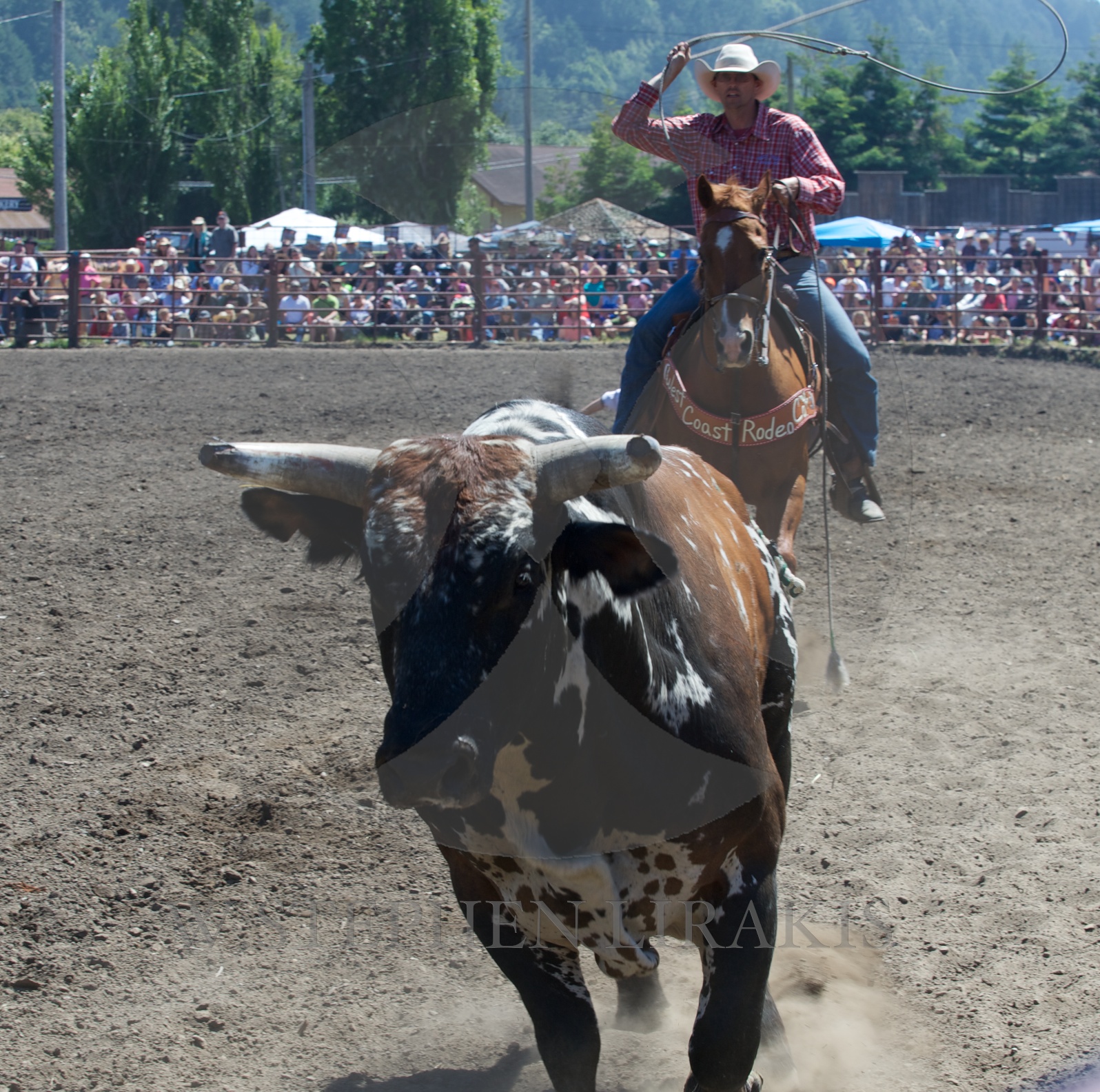

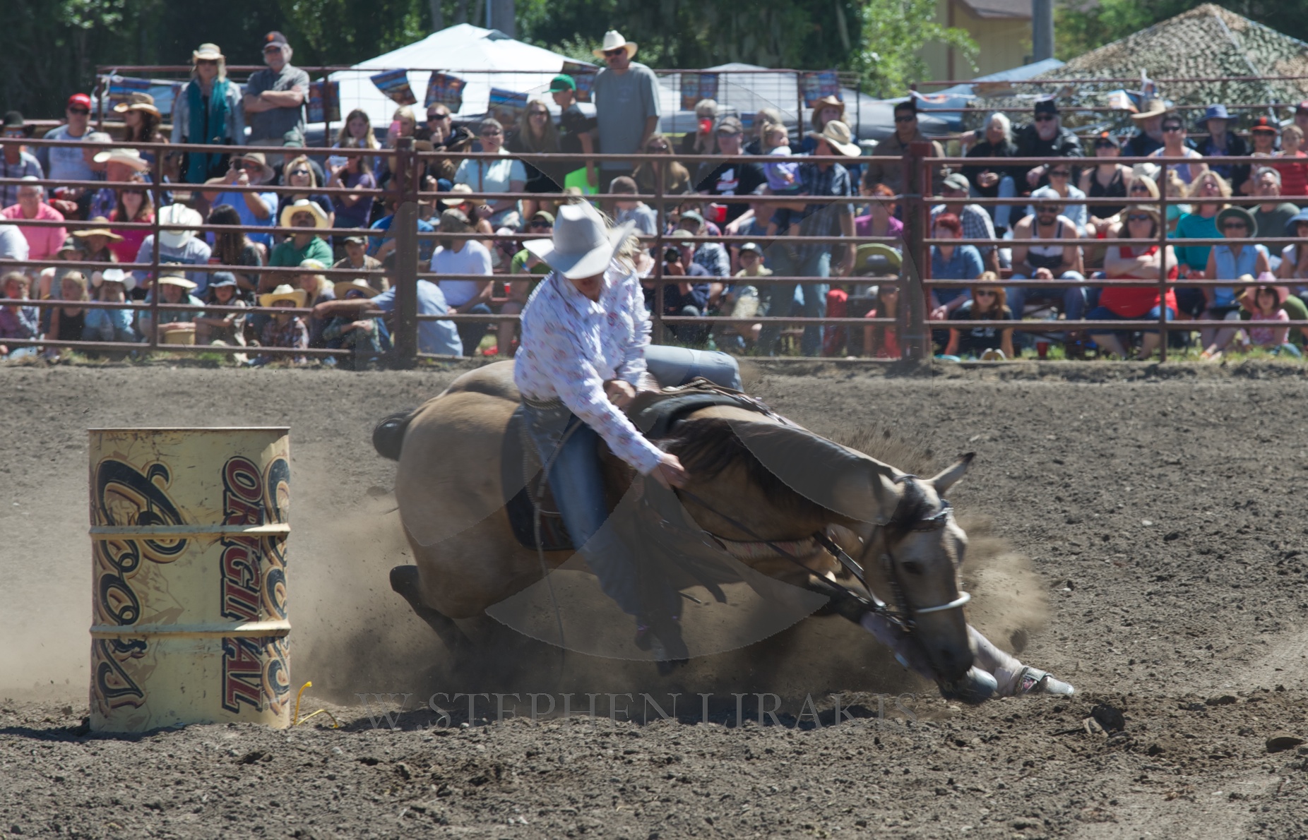
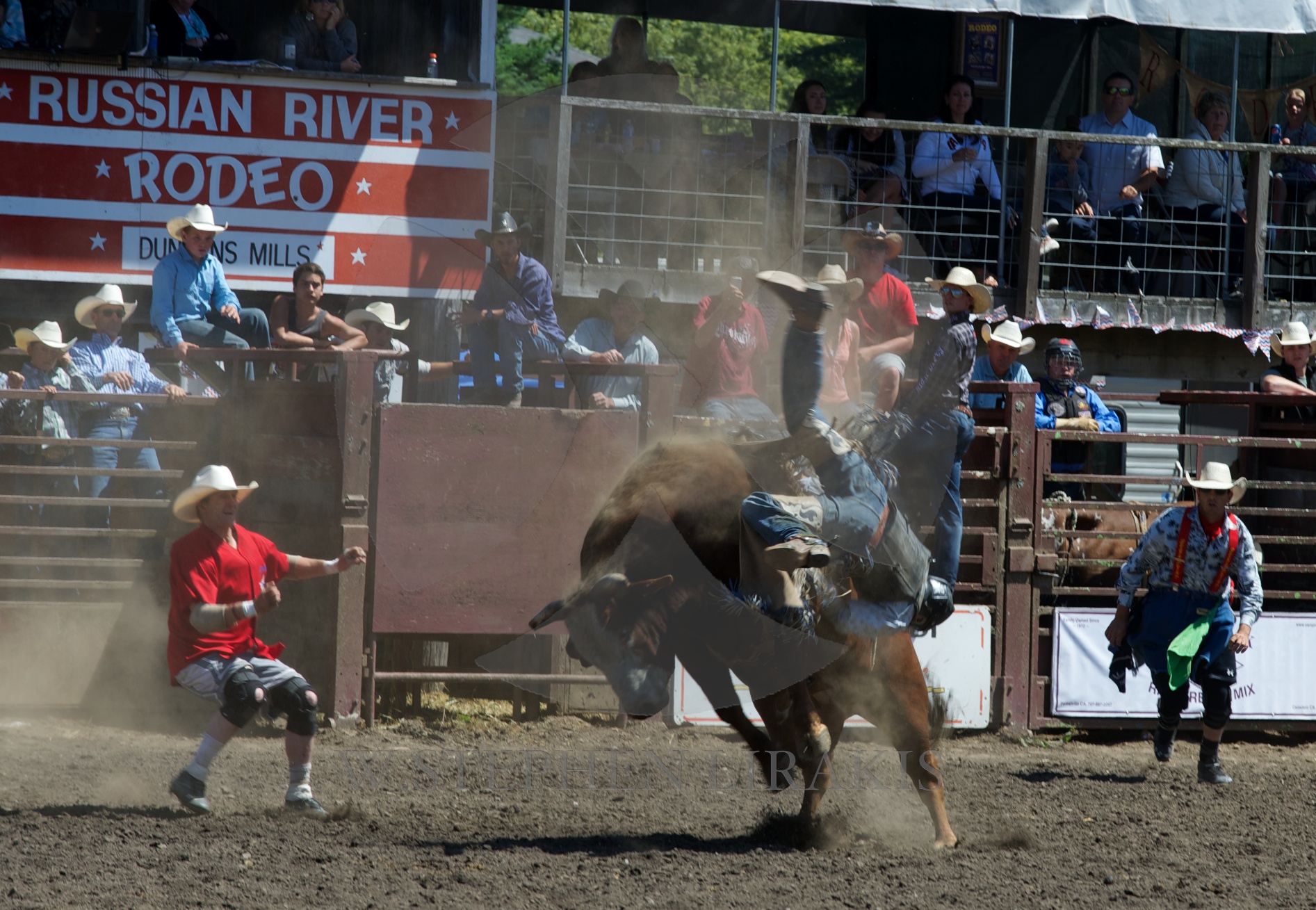
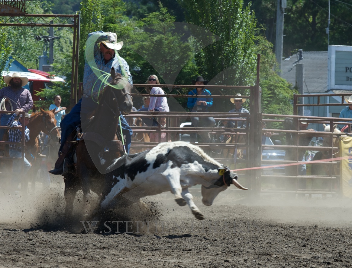
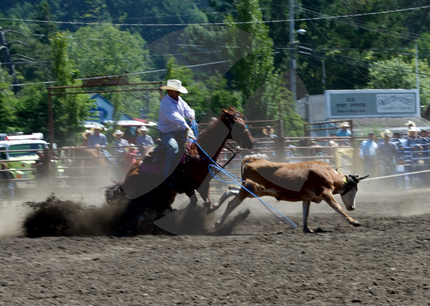
Rodeo is something I love. The relationship between man and animal is one that I have long admired. It is opposite from the relationship with inanimate objects like boats or cars.
The competitors in the Bermuda race are still waiting for the southwesterly breeze to fill as forecast; moving slowly in any direction to achieve forward motion until then. No record times in this race. RACE TRACKER BY YELLOWBRICK
Meanwhile, I am a long way from it all; in Sonoma.