Nature’s power ever ceases to amaze and awe. Still, do does not diminish the sadness for those who lost everything, including all their memories.
Category: hurricane sandy
PATH OF DESTRUCTION
It is reports like this that “almost” make us feel guilty to have dodged a bullet.
JERSEY SHORE
what can we do to help?
A GREAT SYNOPSIS OF HURRICANE SANDY
A great review of the weather forecasting and results from Dr. Jeff Masters, click : HERE. He compares the various models used in predicting the track of the storm. The results show me that it should come as no surprise that the French are so good at distance sailing. Anyone who was aboard “Tempest” for the 2005 transatlantic race will remember the remarkable precision of the weather routing from Pierre, sitting behind his computer in France.
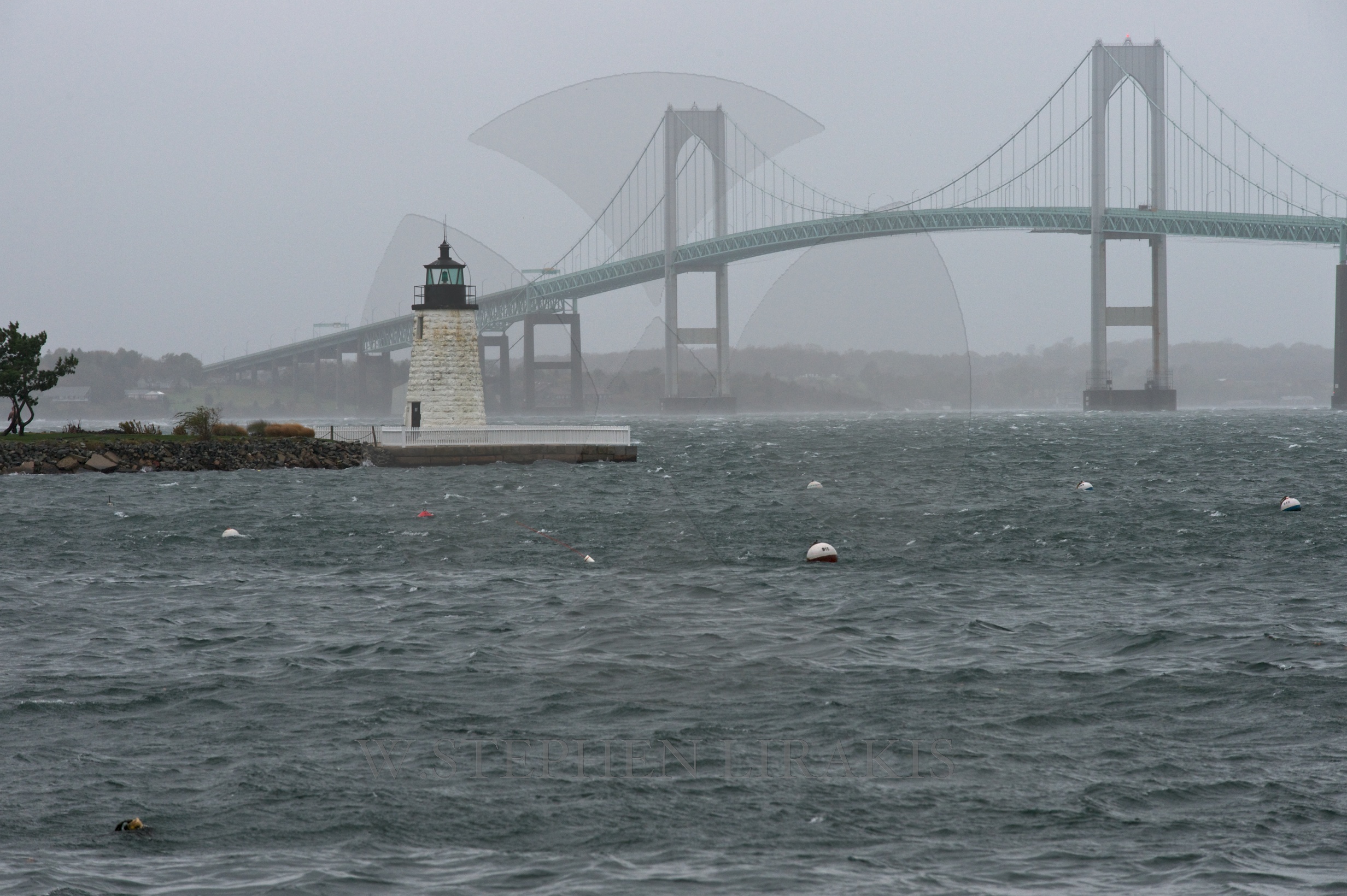
In Newport, we were certainly spared the worst.
Unless you are without power the chaos in New York and New Jersey are hard to miss. New England was so fortunate.
FEELING LIKE THOREAU


The power is back on. I never thought I would miss electricity so much. We recently drove by Walden Pond. Thoreau’s closing words were :”I left for as good as reason as I came.” Well I like the comforts of home as we say.
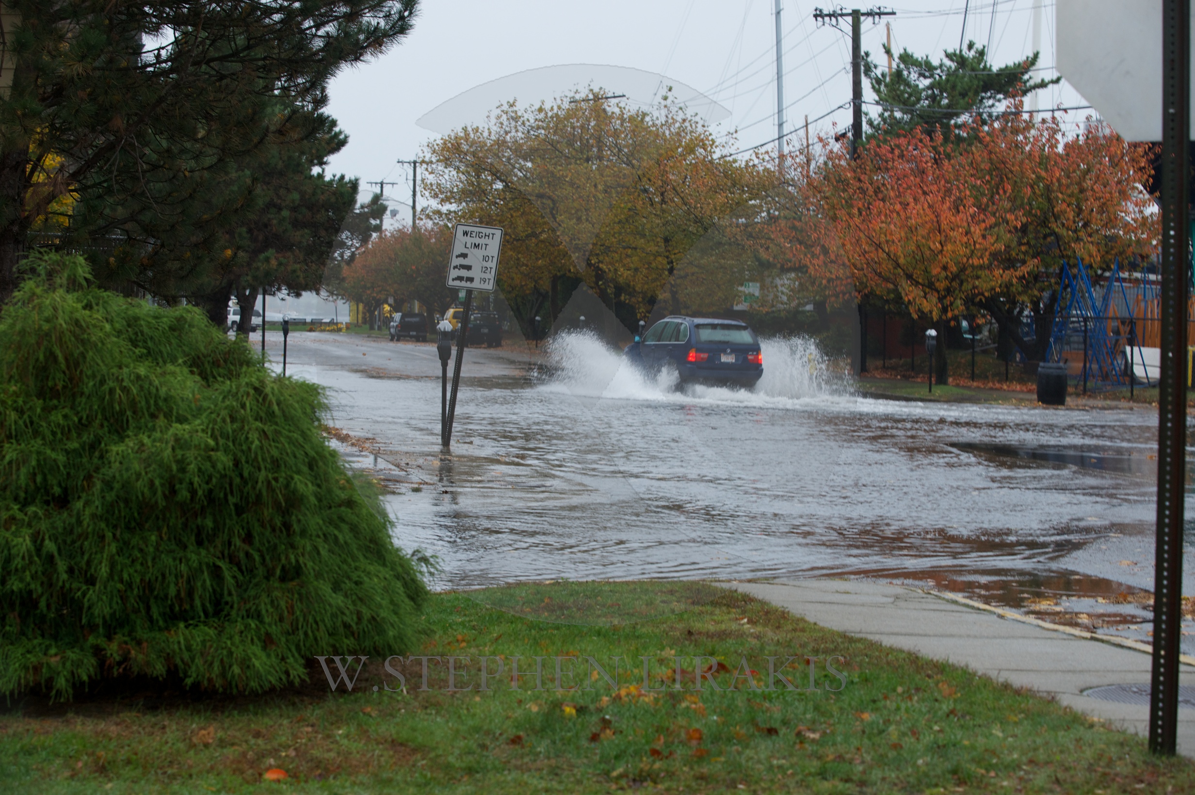
Newport fared well, altogether. trees down, damage at beaches, lost electricity, but not everyone. We tried to drive around yesterday morning but the roads near any ocean views were still closed as the cleanup was in progress.
Not even all the leaves were blown off the trees. We had several hours of hurricane winds but out of the north which kept the surge from being anything like it might have been. I consider we were lucky.
2 PM UPDATE HURRICANE SANDY
Sandy is now at 940 MB. very low and therefore powerful. The tide is low, the wind strength is up, still out of the north. I now believe that the wind will still be out of the north through the next high tide, which is very good.


Trees are starting to come down. Real wind now.
MONDAY MORNING HIGH TIDE
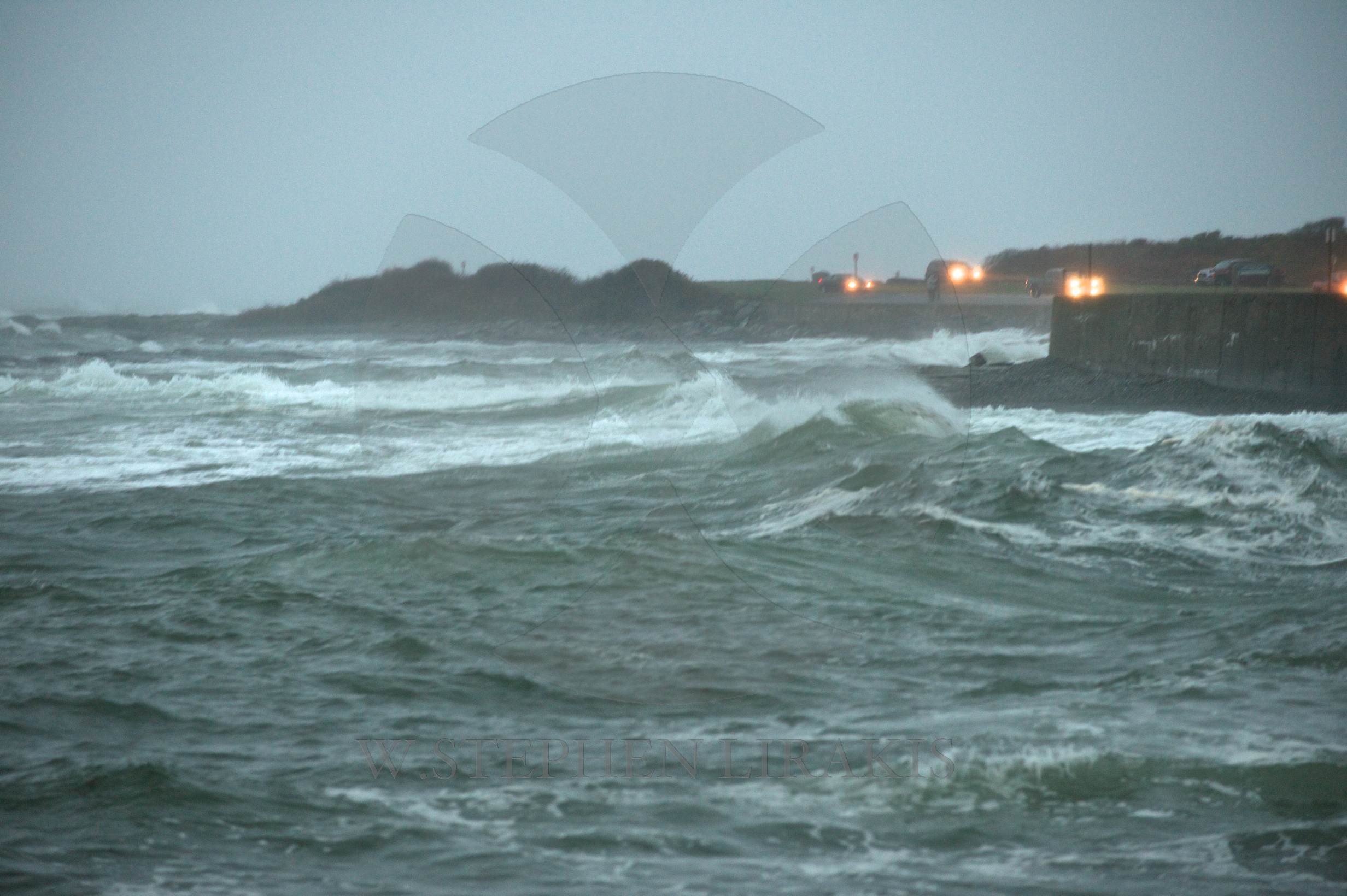
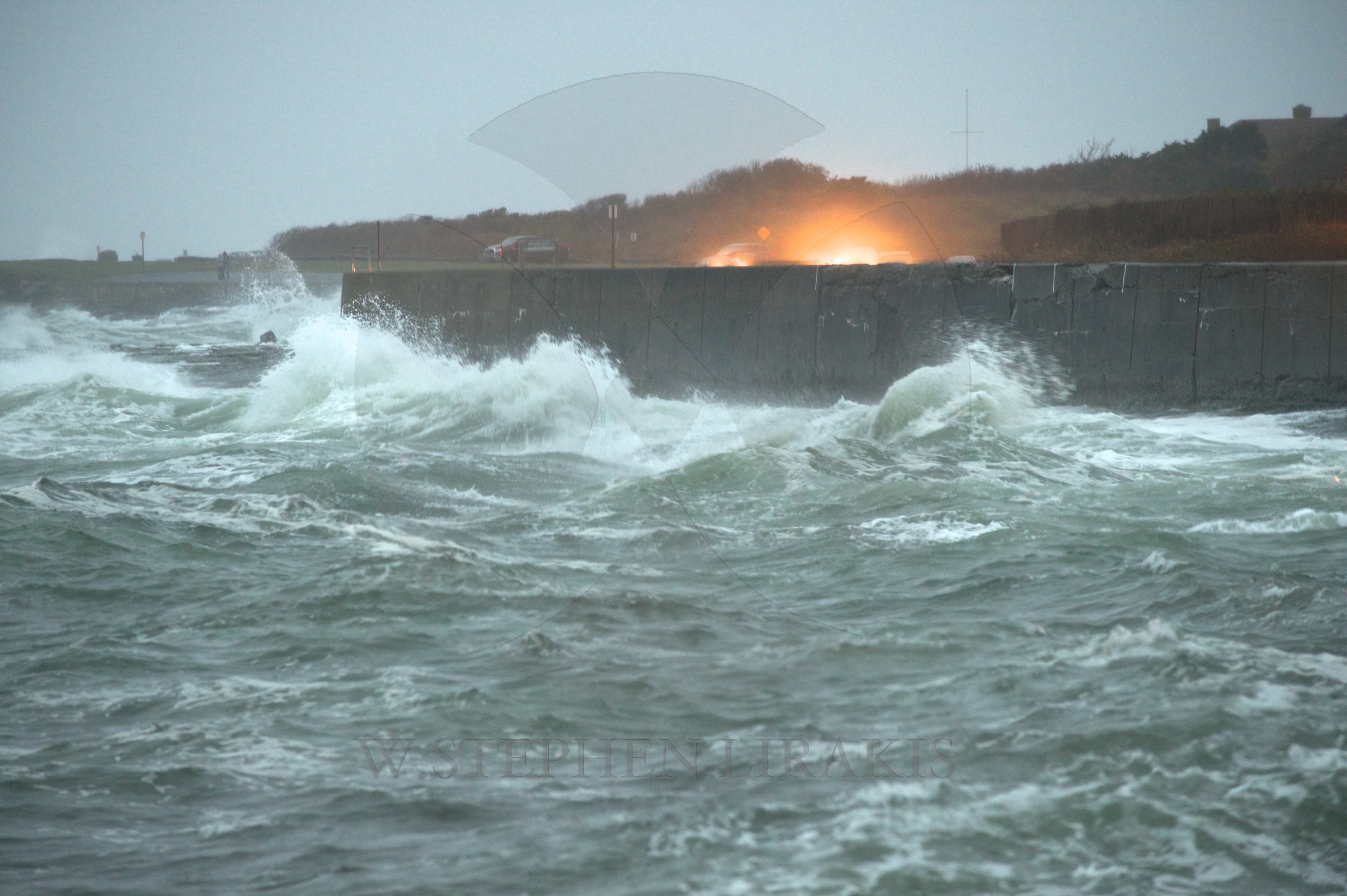
Hurricane Sandy has still not made landfall. The news has been reporting with an urgency leaving me wondering what can be left to say when the storm is actually ashore. Sandy has still not made landfall on the New Jersey shore, where it it have a devastating impact. Apparently my post did not go through in it’s entirety. a power outage interrupted it.
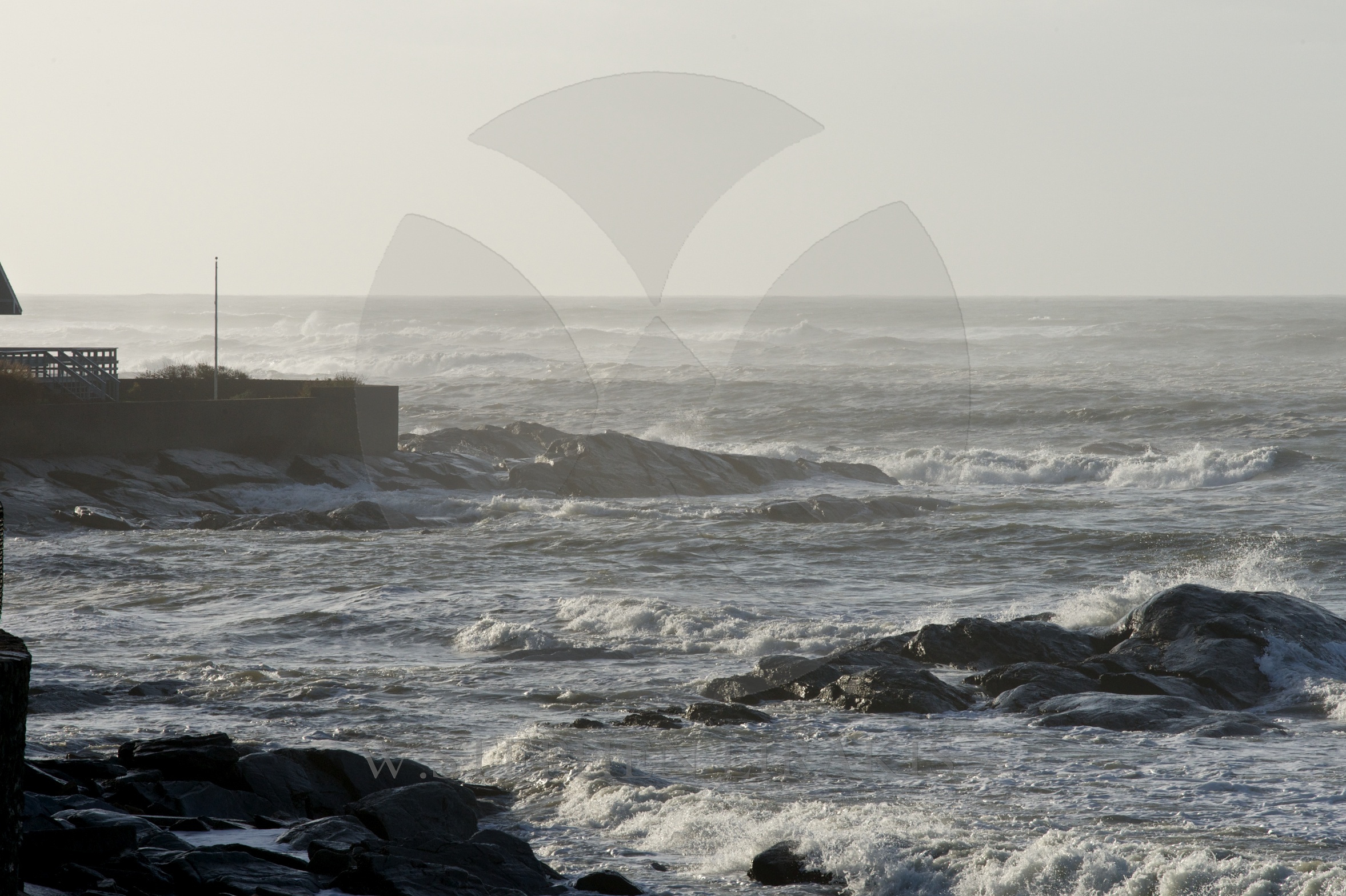
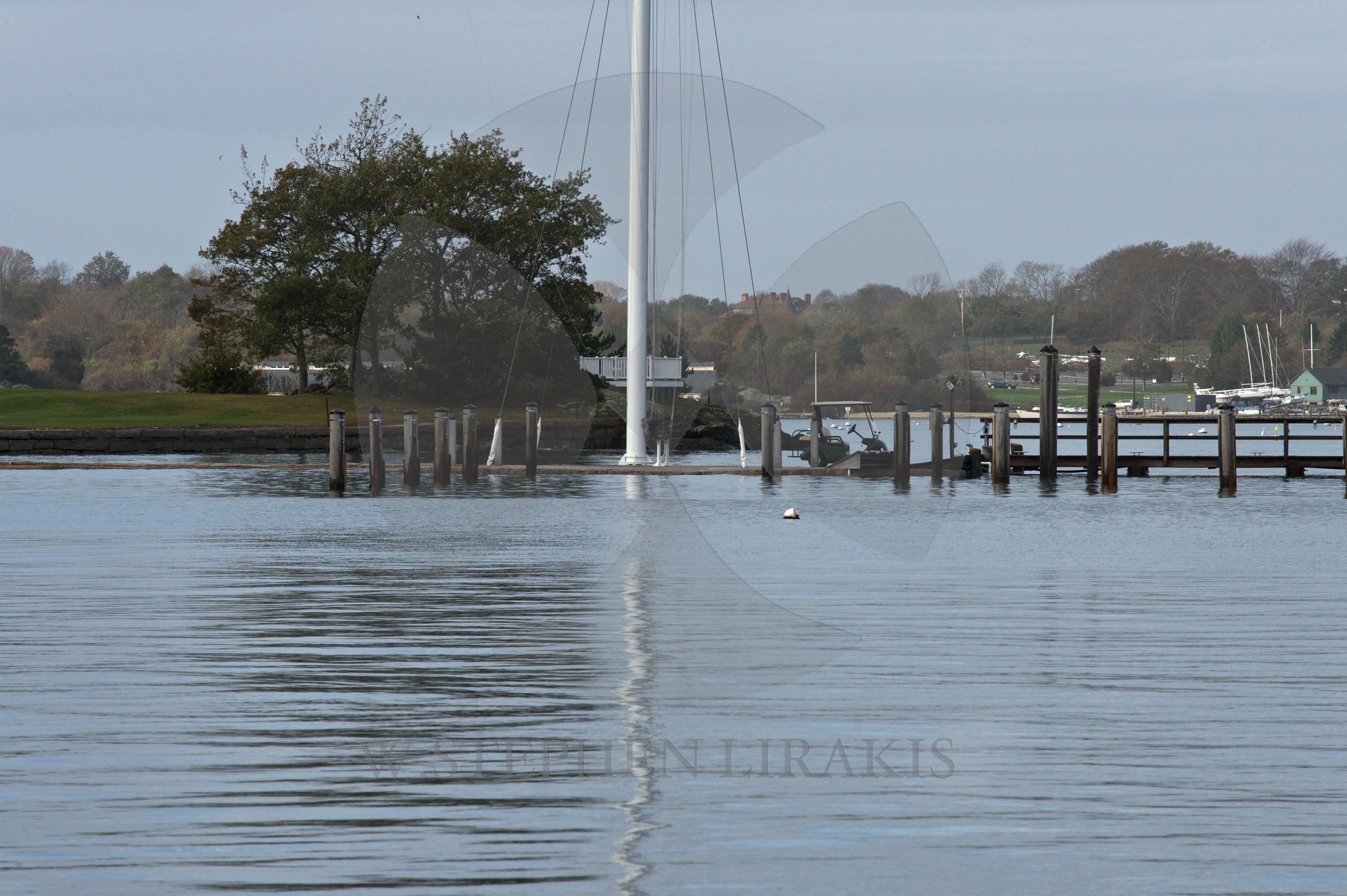
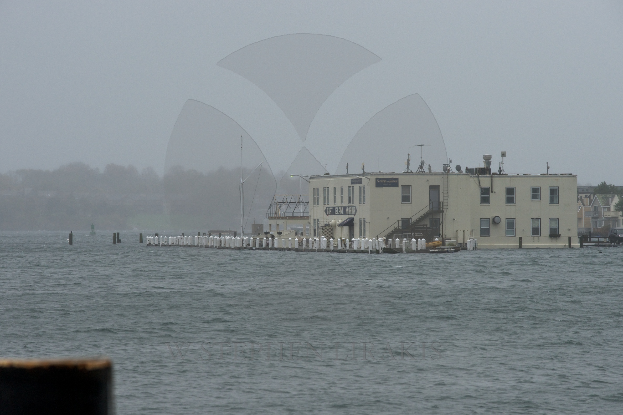
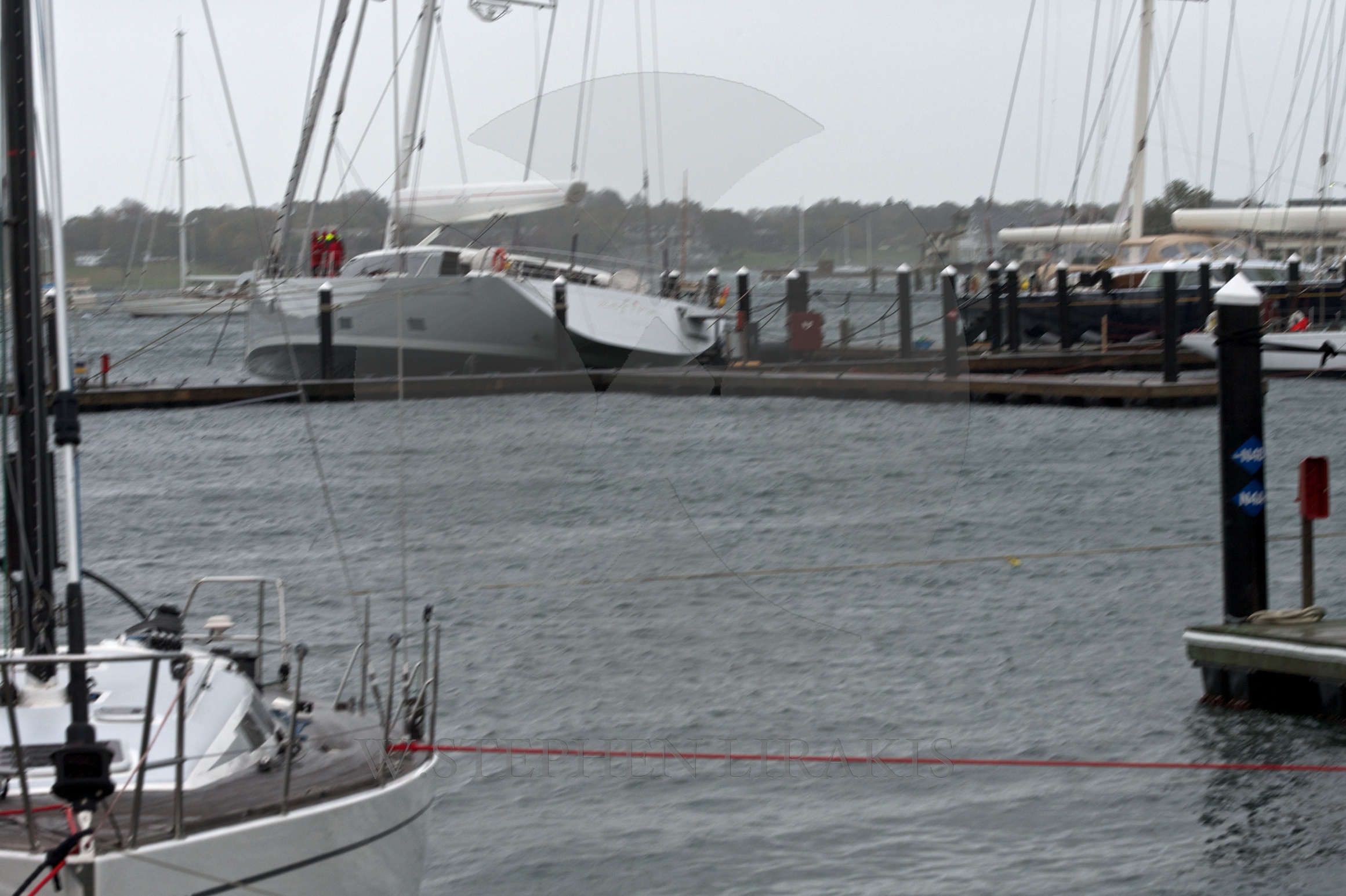
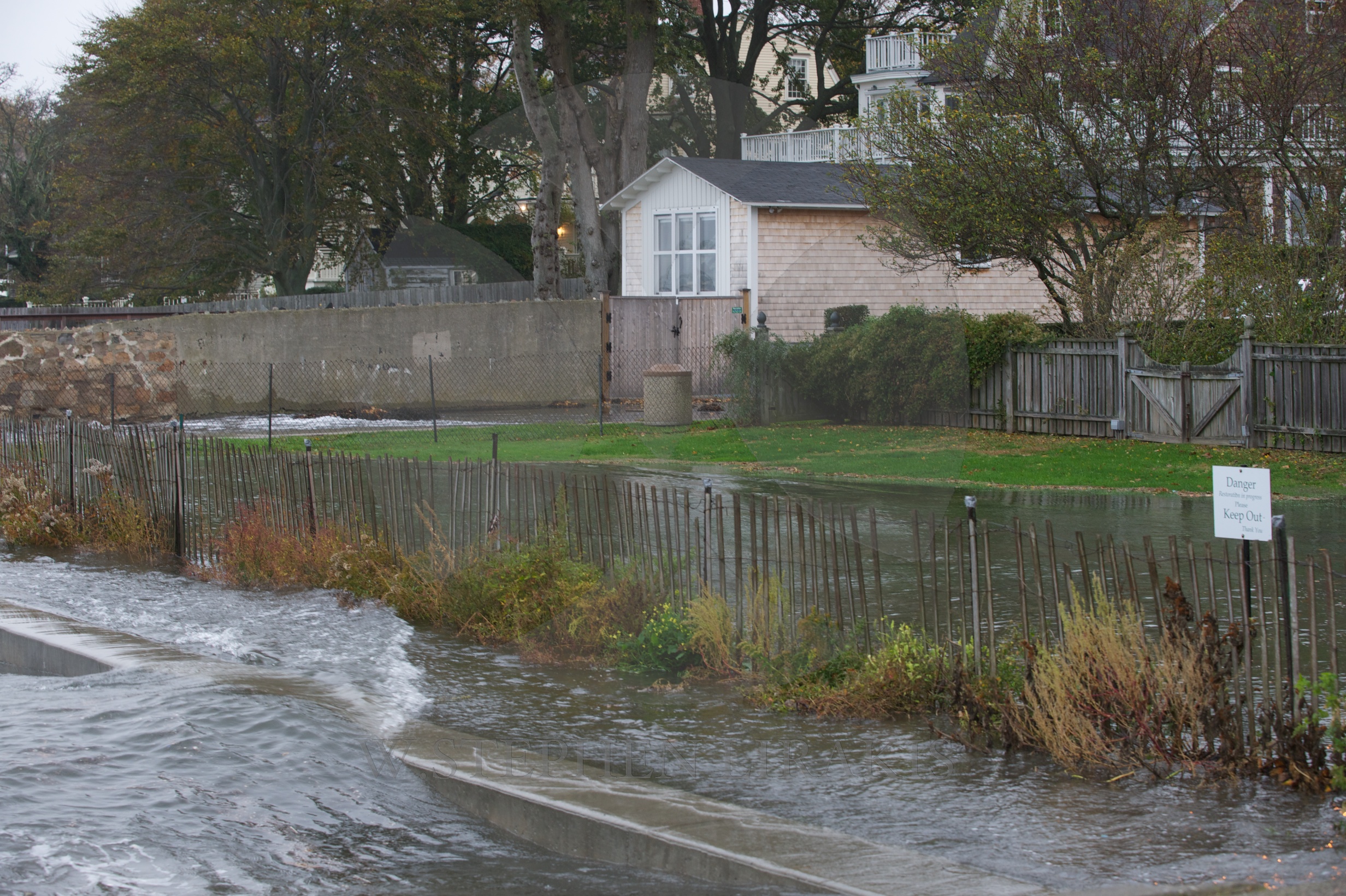
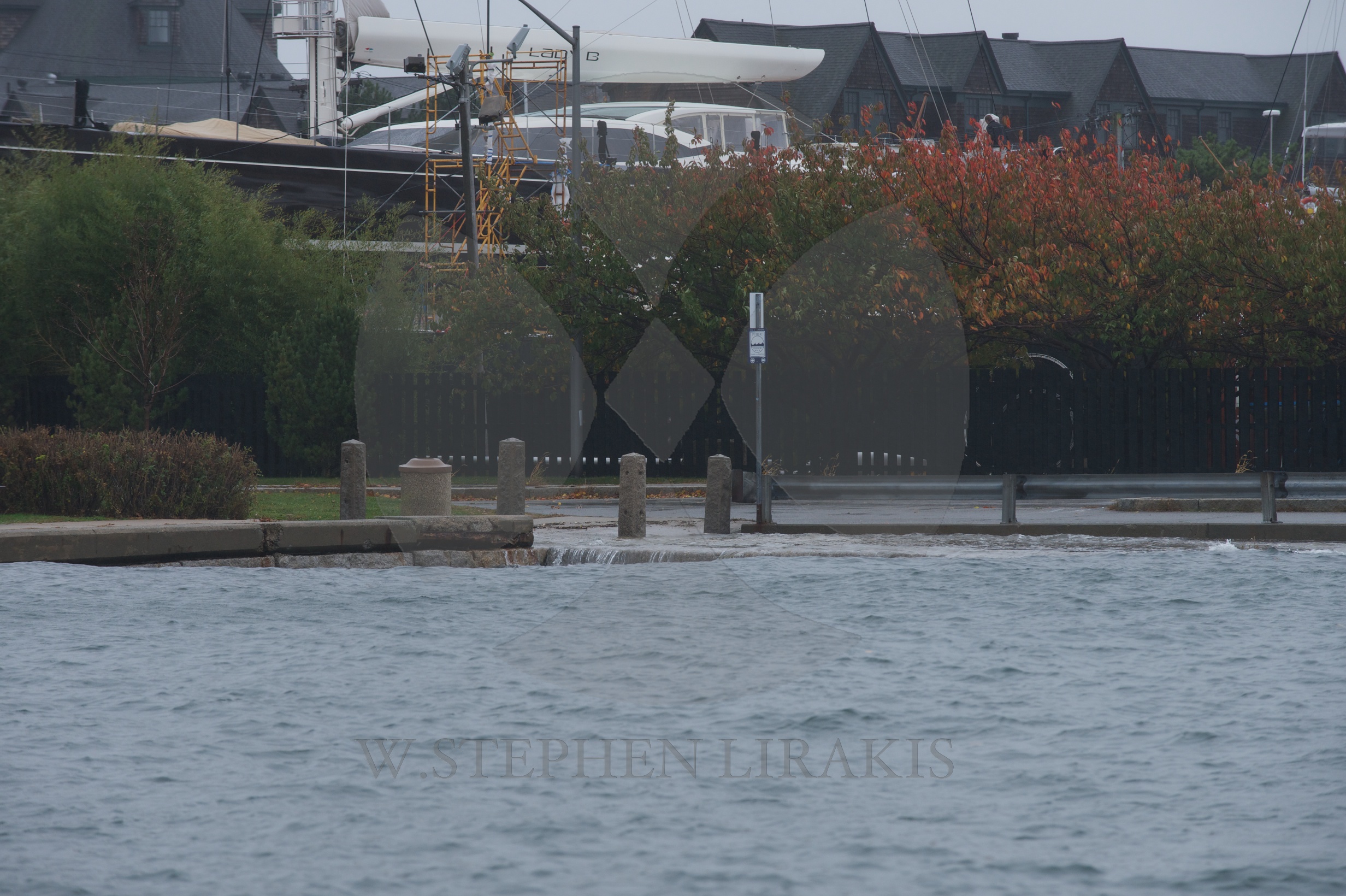
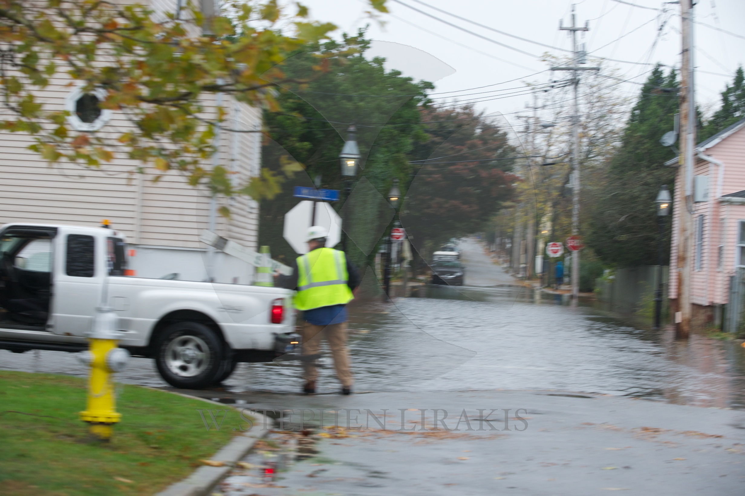
I still do not believe that here in Newport we will have hurricane force winds. The storm surge coupled with the full moon will make for an shoreline flooding. The fact that Sandy is slow moving will have us live through several tide cycles. As you can see from the photos the surge is already being felt and the storm is still a long way off.
P.S. The “Bounty” is abandoned off Hatteras. The accuracy is this report is subject to the review of time.
Off Hatteras, NC — Officials say a ship started taking on water off our coast and eventually sank, forcing the crew to abandon ship into 18-foot waves and 40 mile per hour winds off the North Carolina coast.
The HMS Bounty, a 180-foot, three-mast tall ship, was last marked about 90 miles southeast of Hatteras.
The ship has sunk, according to the Coast Guard at 8:45 a.m. Monday.
There were conflicting reports on how many people were onboard. The manifest reportedly listed 16 people, and that’s the number the Coast Guard has.
The Coast Guard also reported that two people may be missing.
The Coast Guard says the first Jayhawk crew reached the life rafts around 6:30 p.m., which is about 90 minutes after the crew of the Bounty abandoned ship. Crews hoisted five people into the aircraft at that time. A second helicopter arrived and rescued nine people.
The fourteen rescued crew members are being flown to Coast Guard Air Station Elizabeth City. Medical personnel are waiting for them there.
WITN’s Alize Proisy is at Coast Guard Air Station Elizabeth City, awaiting the return of the survivors.
The Bounty’s last position was about 160 miles from Hurricane Sandy’s eye.
The crew did have cold weather survival gear.
The Coast Guard sent a C-130 and two rescue helicopters, HH60s, to rescue the crew.
We’re told the crew had only handheld radios once they abandoned ship, so there was not contact until the aircraft got near the scene.
The Bounty was built for a 1962 film and has been featured in one of the Pirates of the Caribbean movies.
The Bounty has been to Carteret County a couple times, back in the 2000s. According to its website, the Bounty “sails the country offering dockside tours in which one can learn about the history and details of sailing vessels from a lost and romanticized time in maritime history.”
It’s not clear why the ship set sail in the Atlantic Ocean with Hurricane Sandy churning up the East Coast.
We will update this story as soon as we get additional information.
HURRICANE SANDY UPDATE


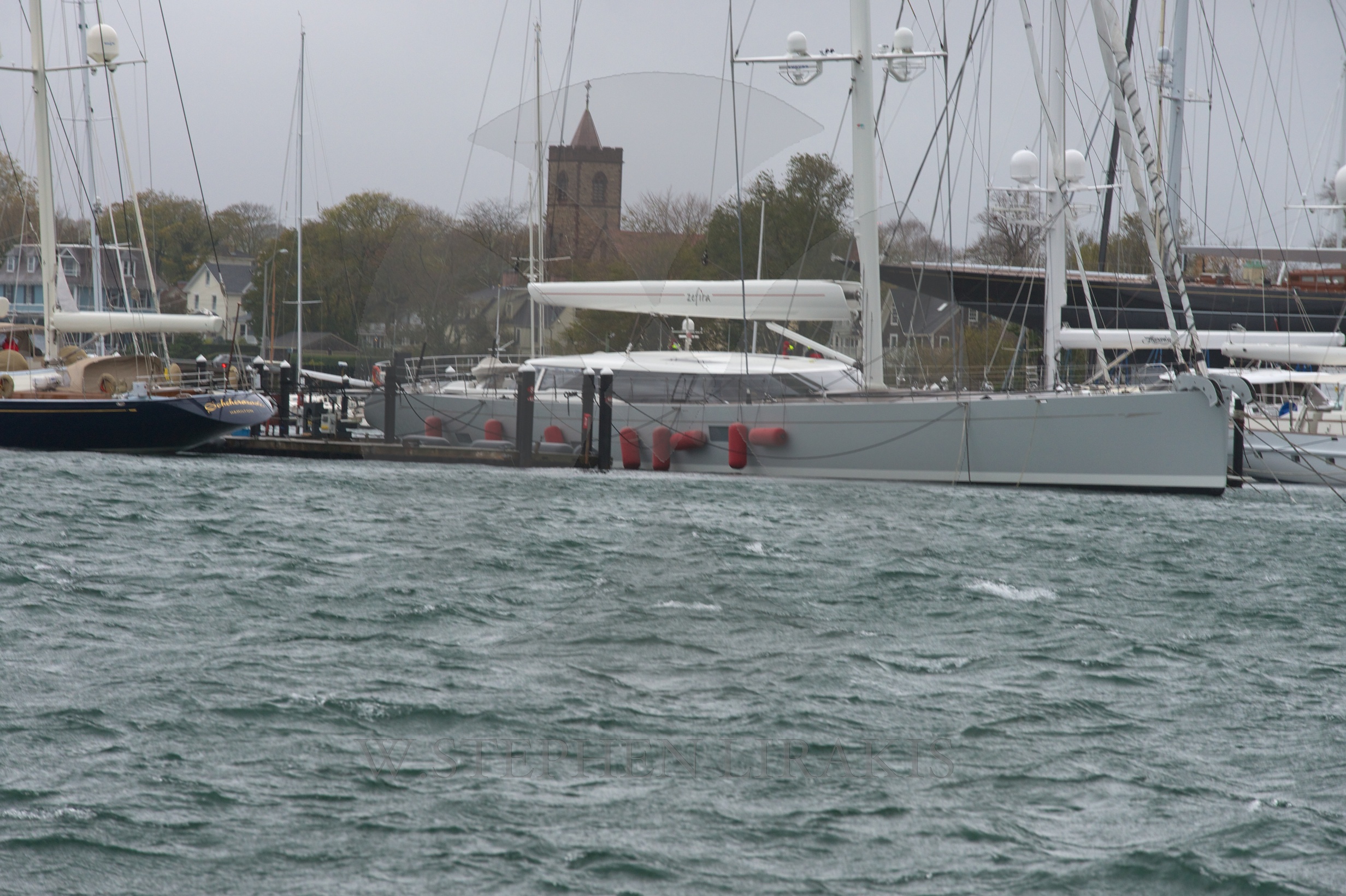
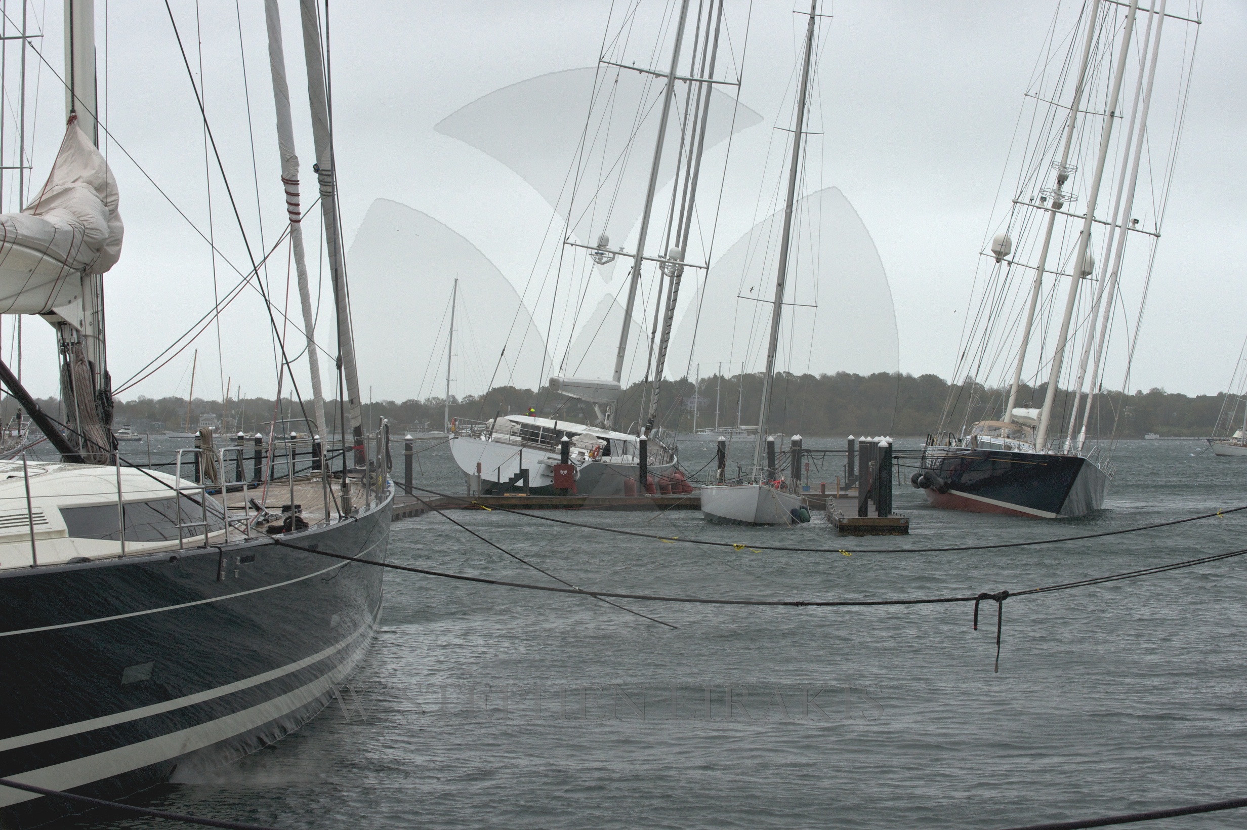
We are all in a holding pattern. “Sandy” has not yet arrived in New Jersey. All the models still agree that the storm will make land on the New Jersey shore. It is a large storm, but I have trouble believing that we will have hurricane force wind here in Newport.Having said that the barometric pressure is 950 MB, which is low and therefore makes the storm robust. What seems clear is that the storm surge is likely to be quite bad. Perhaps as high as we have ever seen. It is a full moon, high tide around 8 pm on Monday night about the time that the worst of the storm is upon us. Boats that are still in the water may find themselves above the docks they are tied to. I would much rather be on a mooring than near a dock. When I was young I rode out many a storm aboard a boat on a mooring, when there was a blast of wind I would engage the engine and power forward gently to ease the load on the mooring line and hopefully keeping the boat from dragging. The biggest problem was the other boats around because they were not taking the same precautions and would drag near.
Be safe out there.
COMMANDER’S WEATHER
FORWARDED BY ANDY BESHEER:
From Commander’s Weather:
Summary… Sandy has slowed – Will be transitioning into a huge storm late weekend/early next week and will impact much of the East Coast, especially the Mid Atlantic and NE US.
1) At 11am Fri, Sandy was located at 26.7n/76.9w, about 25 miles to the NNE of Great Abaco Island (or about 460 miles to SSE of Charleston, SC
a) Movement has slowed and is now moving N at 6 mph – this slow down was expected
b) Max sustained winds remain around 80 mph
c) Lowest pressure is 970mbs or 28.64″
d) Hurricane force winds extend out 35 miles from center and Tropical Storm force winds out 275 miles from the center
2) Sandy should move slowly NNW to N today and much of tonight and then turn NNE and NE on Sat
a) Sandy will start to trend back to the N later Sun and then NW Mon
b) the worst conditions thru the weekend will be offshore, closer to the storm
c) but, there will still be some squalls and gusty winds along the coast as well and will have very big seas along the coast
3) Increasing upper wind shear over Sandy along with some drier air working into it may cause some weakening later today thru tomorrow
4) However, Sandy will remain a powerful system
a) the overall wind field around Sandy has expanded outwards and seeing some reports of winds of 45-55 mph off southern Florida
5) We do not have all the new model data in yet, but will have all the available models for the next advisory – at this time, with the data we are seeing, do not see changing much
6) The deep trough coming towards the eastern US will grab Sandy and turn it back to the NW
a) the tricky part remains as to when this occurs
b) we still have a variety of solutions – from Delmarva to Maine
7) We feel Sandy will make the turn sometime late Sun night/early Mon and head towards the central New Jersey coast
8) Sandy will start to lose its tropical characteristics Mon, but at the same time,the deep trough will provide an additional energy injection and Sandy will actually strengthen
9) As the transition away from a tropical system occurs, the wind field will expand out further, but again, this will not mean any weakening
10) We are still seeing very low pressures being forecast by the varying models – down to 950 mbs or less by Monday night which is as low as it ever gets in the Northeast and Mid Atlantic States
a) this may be overdone to a certain extent, but this will be a very powerful and potentially dangerous storm system
11) Expect a major impact from the eastern Carolinas to Maine from Sandy
a) right now, the hardest hit area looks to be from southern Jersey to southern New England
b) however, we still have to watch closely the exact track
12) Gales will extend over 300 miles to the E and NE of the track and several hundred miles to the W by Sunday night and Monday
13) Hurricane force winds are possible as far as 100 miles from the center by Monday and some hurricane force wind gusts will be possible from portions of southern New England, thru Long Island, and New Jersey as it looks now
14) For now, will keep landfall occurring during Mon night
15) This a potentially a very serious ocean flooding situation for Long Island Sound as the track from SE towards the NW toward NYC will bring huge seas with it tending to funnel the water thru the Sound
16) Serious ocean flooding is also very likely along the S and E coast of New England and the S coast
of Long Island especially if the storm takes the route closer to NYC, while less impact if further S
a) Huge seas of 25-40+ ft are expected to develop off the East Coast over the weekend into early next week.
Expected impacts from Sandy
Western Long Island Sound…Possible major impact from ocean flooding Monday night and Tuesday. NE winds increasing to 20-30 Sunday then to 25-35 Sunday night and to 30-45 by late Monday. NE-E winds peak at 50-70 mph with possible gusts to hurricane force late Monday/early Tuesday. E-SE winds diminish slowly Tuesday. Tides may peak at 4-7 ft above normal late Monday night and Tuesday.
CURRENT POSITION
| Date | Time | Lat | Long | Movement | Wind | Gust | Press | Position |
| EDT | N | W | mph | Mph | mph | MB | ||
| Fri 10/26 | 1100 | 26.7 | 76.9 | N 6 | 80 | 90 | 970 | 25 mi NNE of Great Abaco |
FORECAST TRACK
| Date | Time | Lat | Long | Movement | Wind | Gust | Press | Position |
| EDT | N | W | Mph | Mph | mph | MB | ||
| Fri, 10/26 | 2000 | 27.5 | 77.2 | NNW 8 | 80 | 90 | 968 | 150 mi E of Palm Beach |
| Sat, 10/27 | 0800 | 29.5 | 77.1 | NNE 10 | 75 | 85 | 967 | 245 mi ESE Jacksonville |
| Sat, 10/27 | 2000 | 31.0 | 76.0 | NE 11 | 75 | 85 | 966 | 300 mi SSE of CapeHatteras |
| Sun, 10/28 | 0800 | 32.7 | 74.0 | NNE 12 | 75 | 85 | 966 | 220 mi SSE of CapeHatteras |
| Mon, 10/29 | 0800 | 37.0 | 72.0 | NNW 10 | 80 | 90 | 960 | 180 mi ENE of CapeHatteras |
| Mon, 10/29 | 2000 | 39.0 | 73.0 | NW 10 | 80 | 90 | 955 | 120 mi SE of NYC |
| Tue 10/30 | 0800 | 40.6 | 75.2 | NW 10 | 70 | 80 | 962 | Just E of Allentown, PA |