
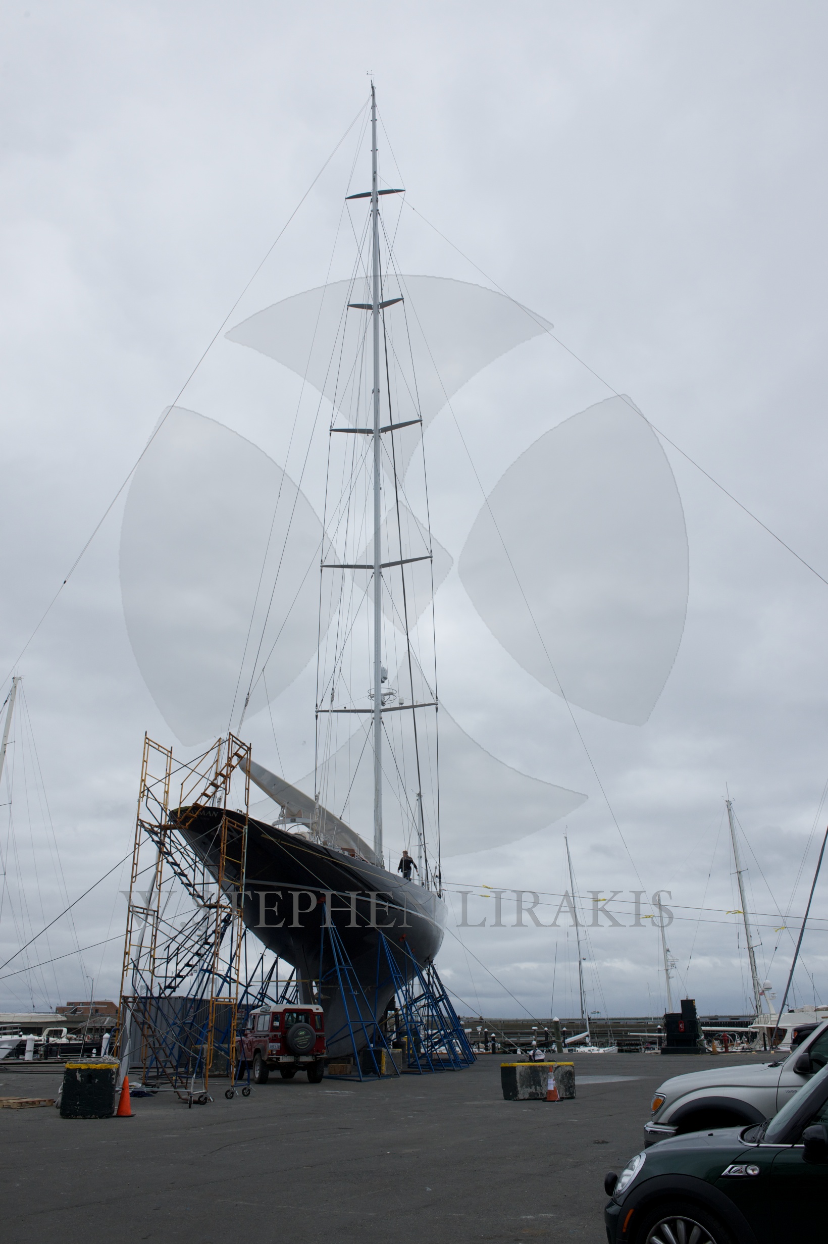
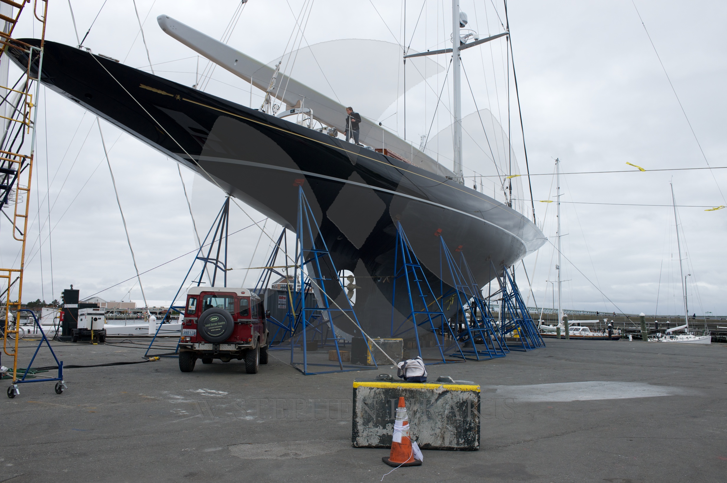


We are all in a holding pattern. “Sandy” has not yet arrived in New Jersey. All the models still agree that the storm will make land on the New Jersey shore. It is a large storm, but I have trouble believing that we will have hurricane force wind here in Newport.Having said that the barometric pressure is 950 MB, which is low and therefore makes the storm robust. What seems clear is that the storm surge is likely to be quite bad. Perhaps as high as we have ever seen. It is a full moon, high tide around 8 pm on Monday night about the time that the worst of the storm is upon us. Boats that are still in the water may find themselves above the docks they are tied to. I would much rather be on a mooring than near a dock. When I was young I rode out many a storm aboard a boat on a mooring, when there was a blast of wind I would engage the engine and power forward gently to ease the load on the mooring line and hopefully keeping the boat from dragging. The biggest problem was the other boats around because they were not taking the same precautions and would drag near.
Be safe out there.
Stay safe Steven. Bill
In the great hurricane of 1938, water in Providence, (and thus presumably Newport) and the waters along the Connecticut shore rose eighteen feet. I don’t think we will see anything nearly that bad. Here in Madison, Connecticut, the town has ordered the evacuation of everything outboard of Route 1, meaning a high percentage of the oldest and largest houses in town. This is why I never bought a home along the beach or in those low-lying areas. Back five miles from the waterfront, we are 400 feet above sea level, where the old forest has re-grown and the tree limbs will all fall on the power lines and maybe us.